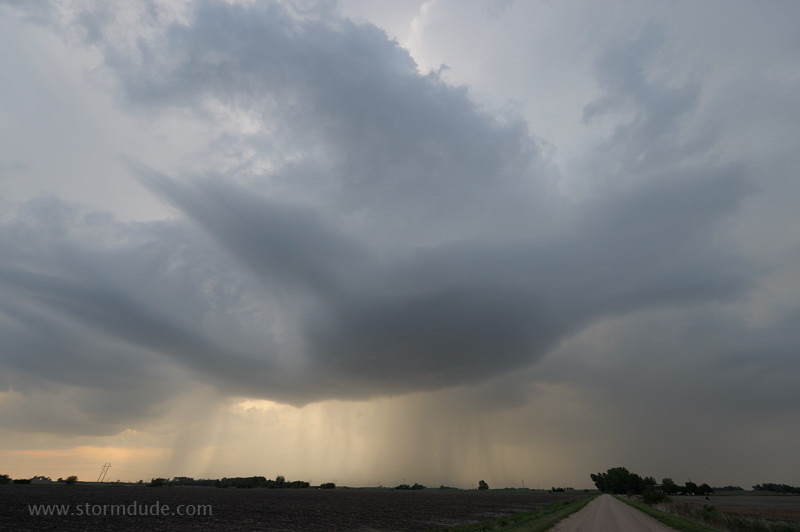
April 26: Southeast Colorado/Southwest Kansas Storms
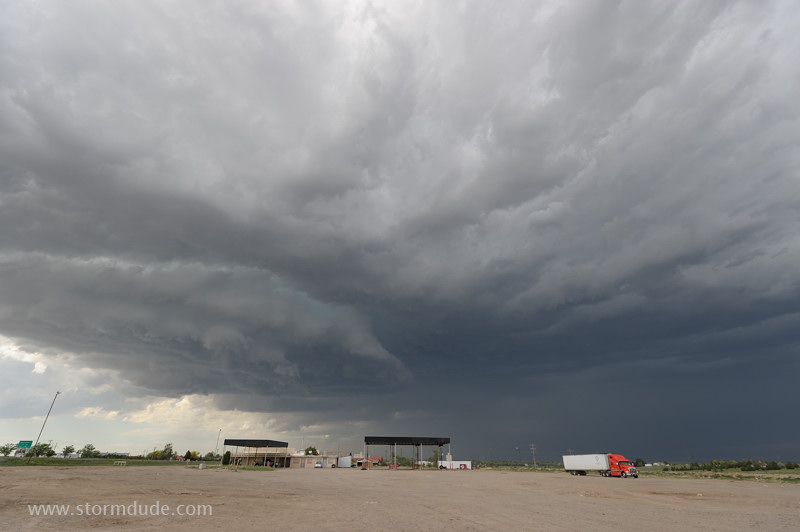
High-based storm in southeast Colorado. A stronger storm is moving north from the Texas Panhandle, so I head southeast to intercept.
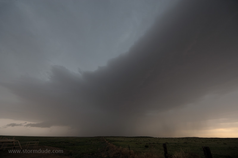
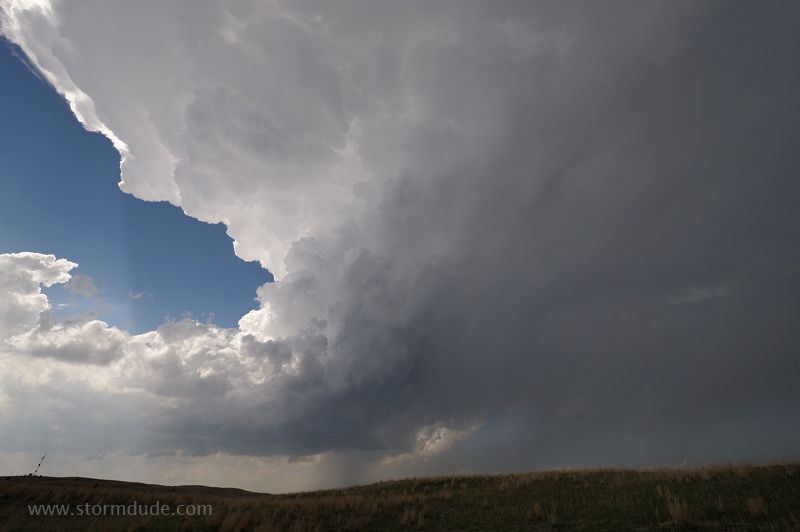
Northeast of Elkhart, looking towards the core of the storm.
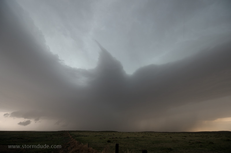
Another wide-angle view.
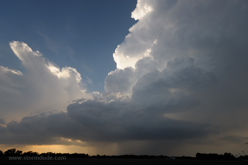
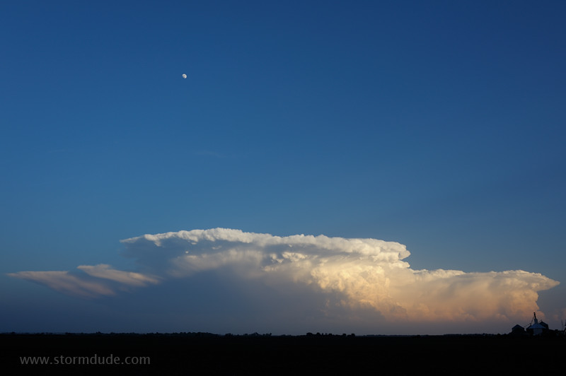
April 28: Southwest Oklahoma Cumulus
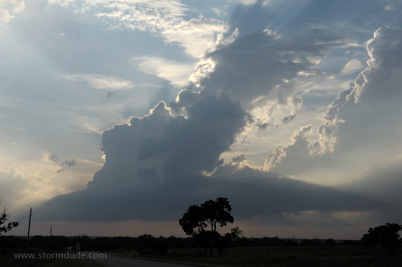
Deep convection finally develops at sunset west of Lawton. It goes on to produce severe weather after dark.
April 30: Texas Panhandle Storm
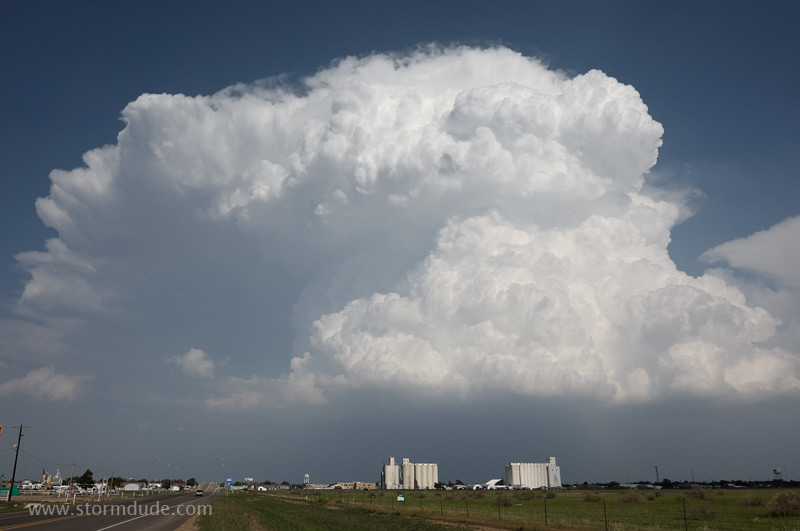
Storm cell near Dumas.
May 2: Grand Island Storms
On a hot, humid day, cold front lights up as sunset approaches.
A few miles northwest of Grand Island.
Scenic structure as this cell weakens.
Near sunset, a supercell develops in southern Nebraska.
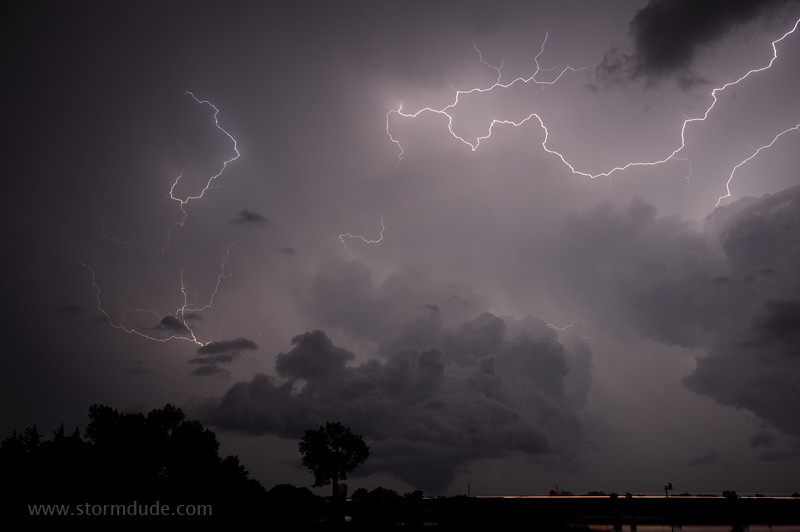
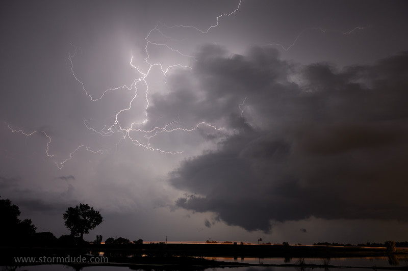
After-dark lightning show is spectacular with nearly continuous lightning (I-80 is in the foreground).
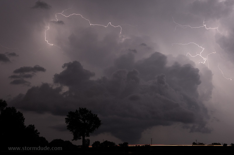
Lightning reveals a tornado look-alike.
But the lowering is part of outflow-generated scud with no connection to the mesocyclone.
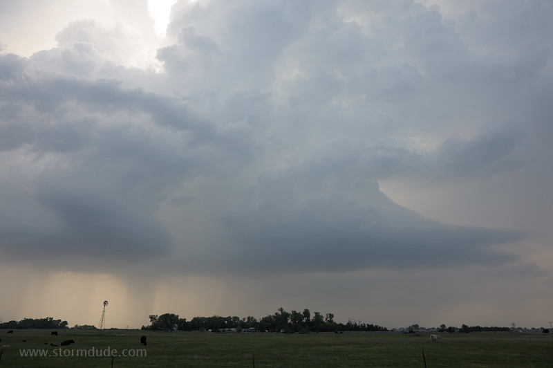
May 4: Central Nebraska Storm
Small storm develops at the western edge of an outflow boundary near Thedford.