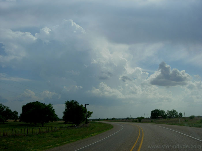
May 2nd: Texas Panhandle Squall Line
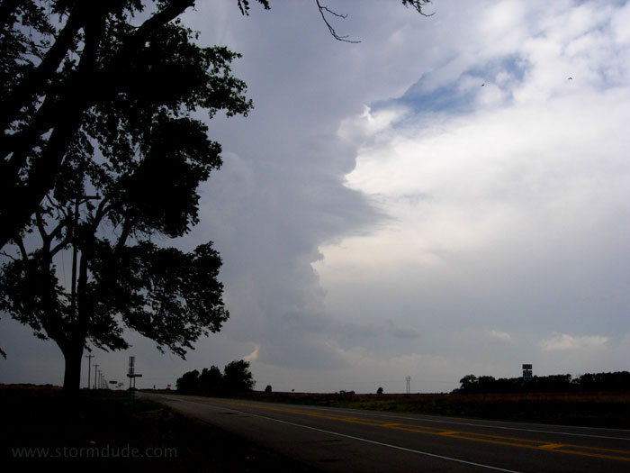
Strong convection mid-afternoon in the eastern Texas Panhandle. High CAPE but weak shear, with a squall line likely.
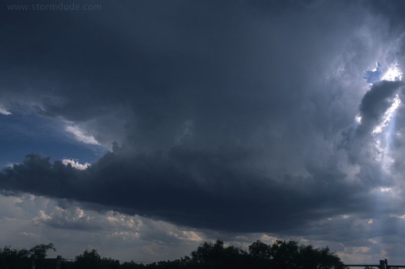
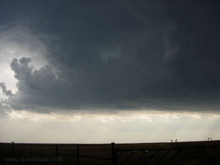
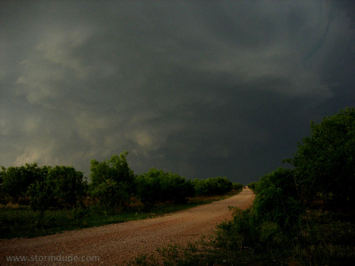
Interesting wall cloud west of Childress, but soon outflow takes over.
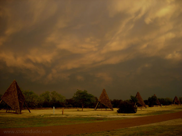
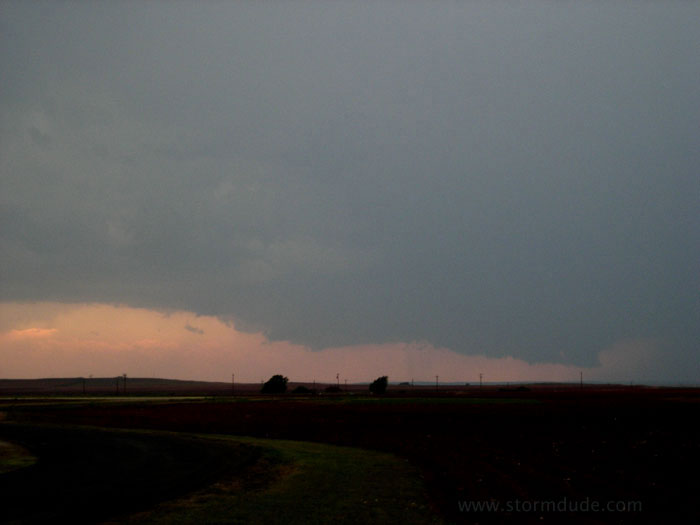
Dramatic sunset south of Quanah.
May 3rd: West Texas Supercell - Kent County
Early afternoon thundershower near Guthrie, Texas. But the real action today will be further west.
Later in the afternoon, storms begin firing near Lubbock. I turn south in Dickens to get in position at the southern edge of deep convection.
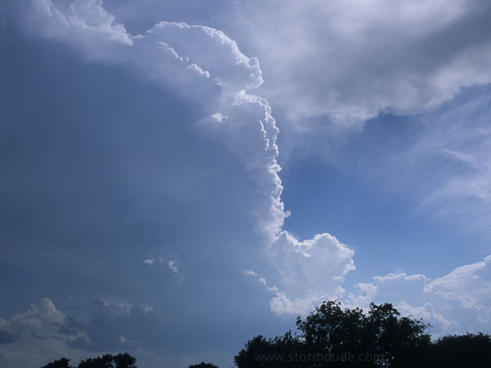
First tower of what will become southernmost storm.
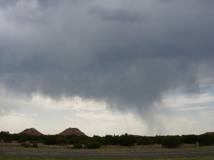
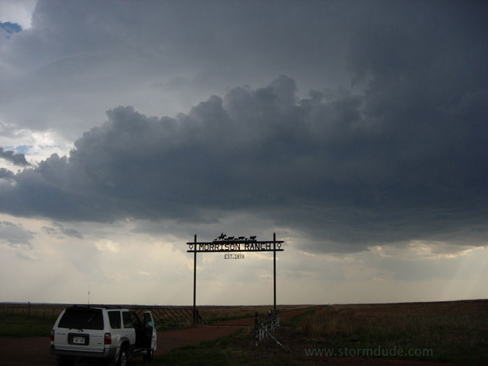
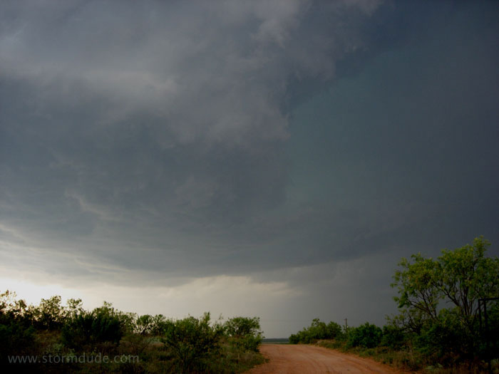
In front of a developing storm eight miles south of Spur, Texas.
Very warm, moist air is feeding this high-based storm.
Updraft base of this cell is a couple of miles from larger storm to the northwest, which had earlier formed just east of Lubbock.
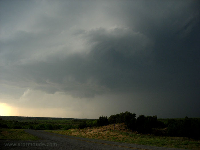
The storm strengthens as it drifts slowly eastward.
Signs of rotation as a rainy downdraft approaches from the north.
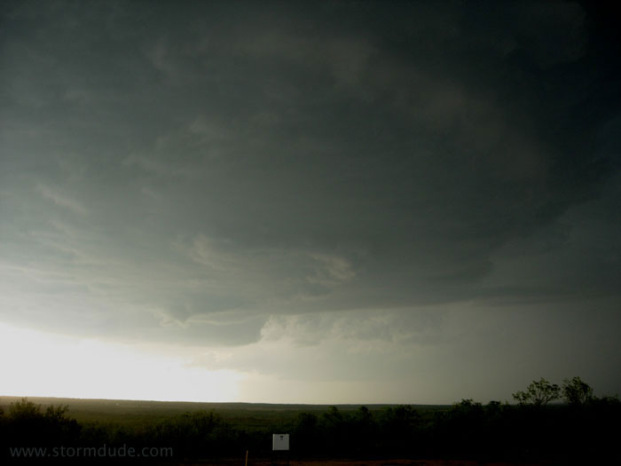
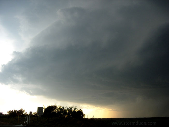
An interesting lowering....
...with signs of rotation. However, no tornado forms, probably due to high LCLs and weak mid-level winds.
Updraft soon turns into a downdraft.
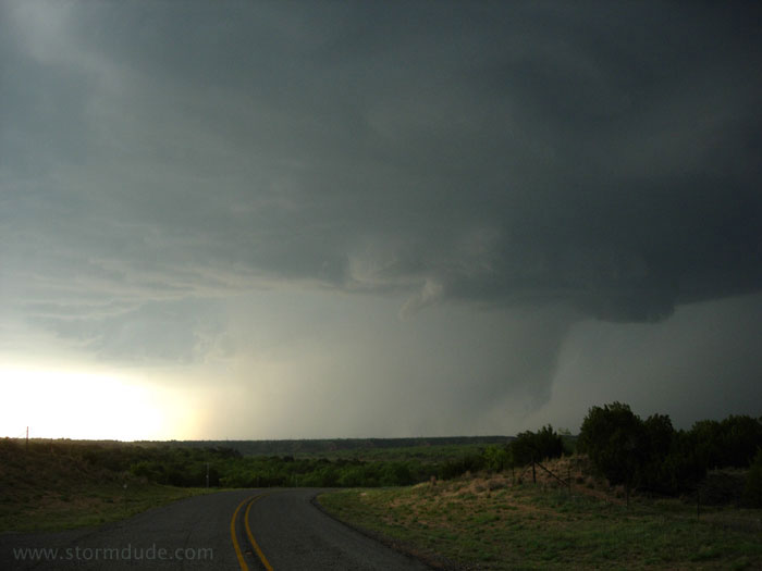
Small cloudburst.
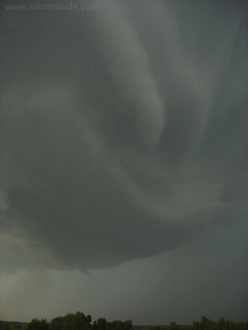
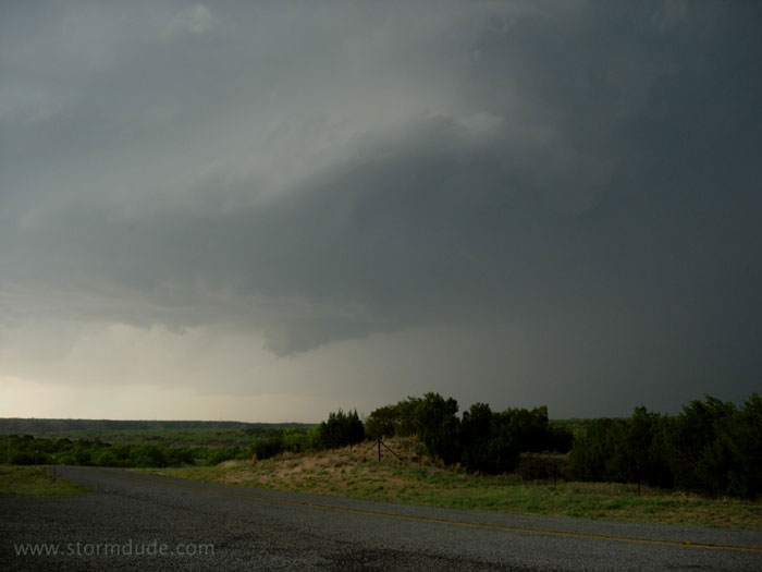
Smooth, laminar bands show continued rotation. By now, this is the southern end of an MCS.
Ahead of the advancing storm at dusk.
Overall a very good storm chase day. Also my first supercell of the year (good old reliable May).