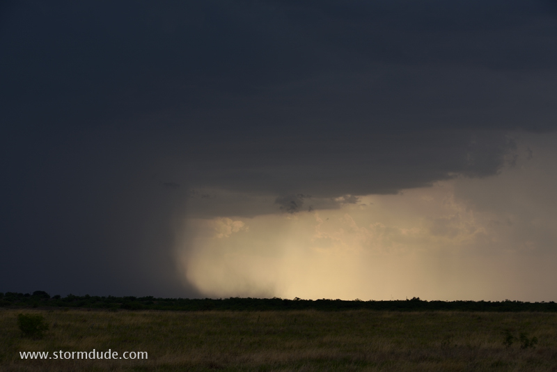
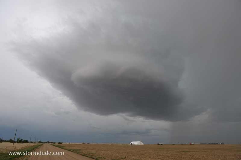
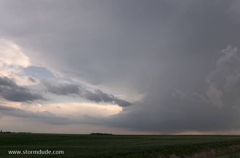
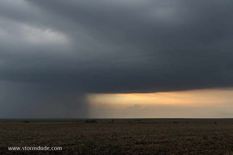
May 11: Western Oklahoma Thunderstorm
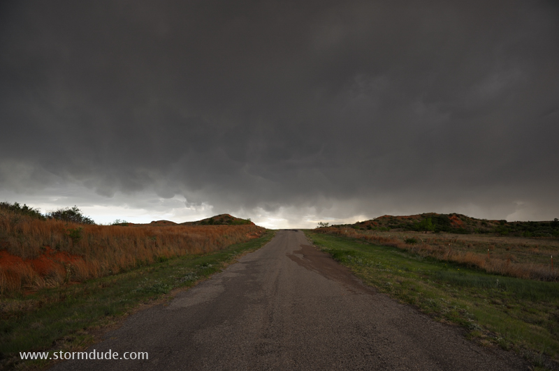
Thunderstorm crosses a remote road in far western Oklahoma.
More of a summer-like thunderstorm due to weak winds at mid-levels of the atmosphere.
Core of storm passes directly over me with small hail and frequent CGs (cloud-to-ground lightning strikes).
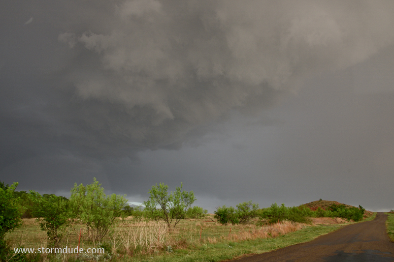
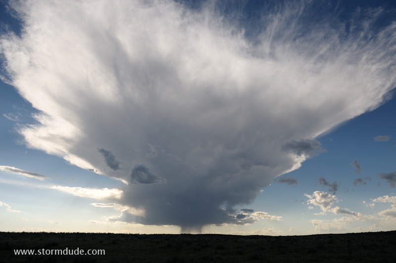
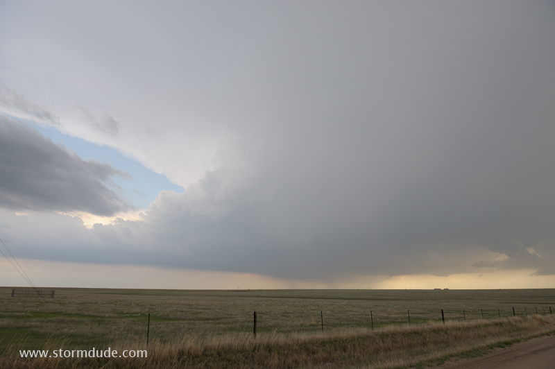
May 13: Childress, Texas Storm
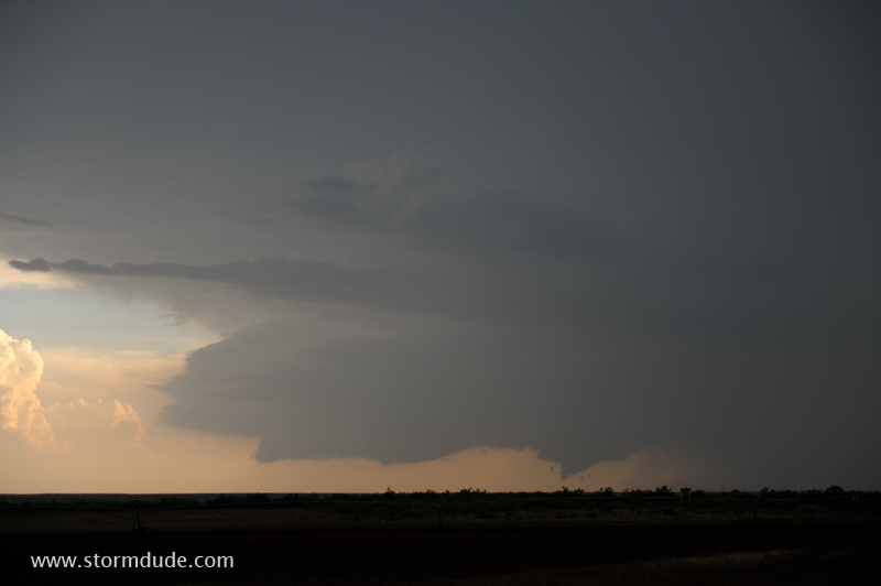
High-based storm north of Childress, Texas, in the southeastern Panhandle.
Base of storm is very high due to large temperature-dewpoint spread (95/65).
Small updraft moves northeast then weakens.
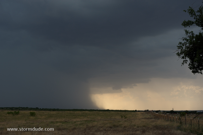
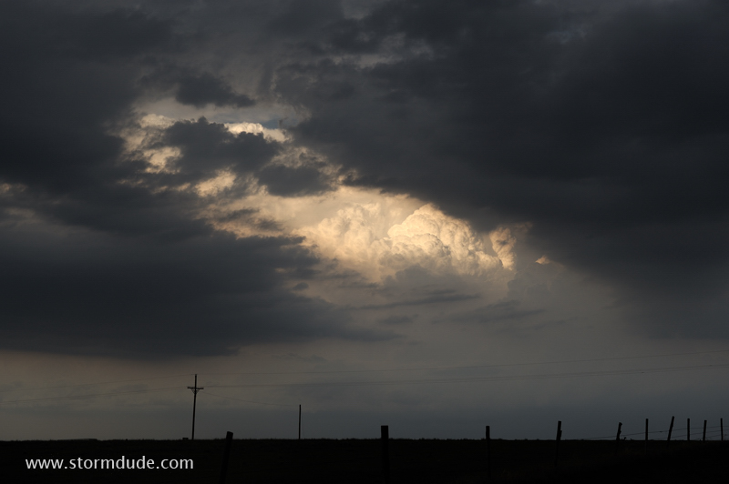
One of many thunderstorm cells scattered across the southern and central Plains.
At dusk a severe storm consolidates just northwest of Childress.
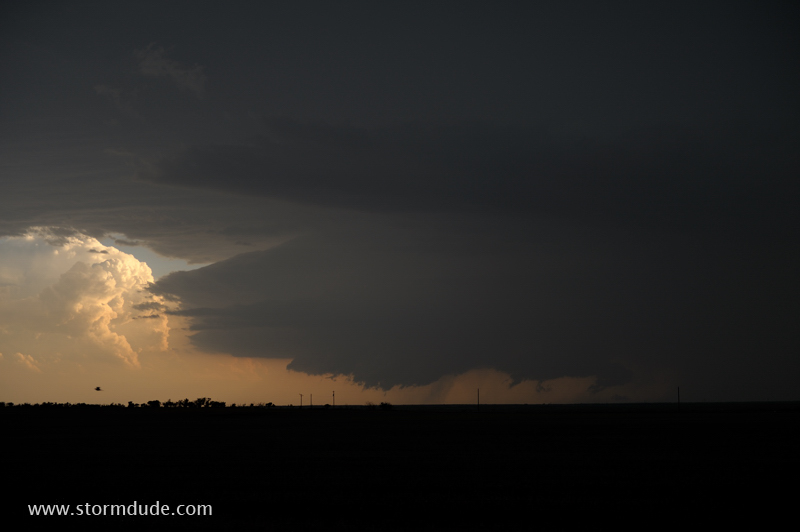
View at sunset.
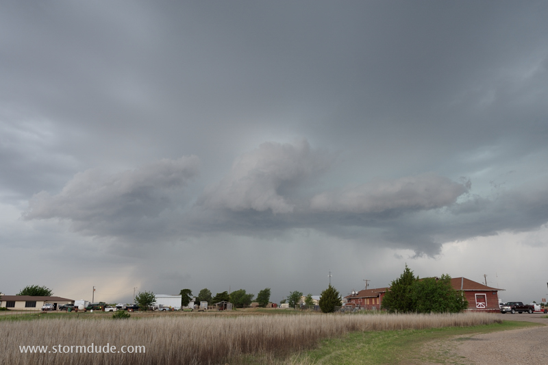
May 14: Texas and Oklahoma Storms
Large complex of thunderstorms develops in far southwest Oklahoma.
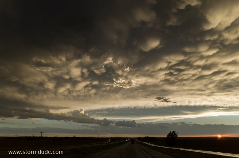
Nothing photogenic until sunset.
Ragged mammatus near Lela, Texas.
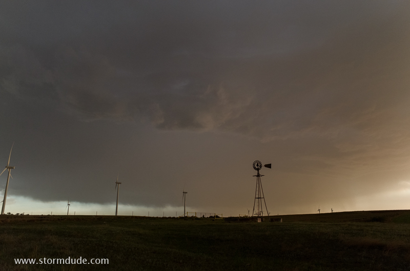
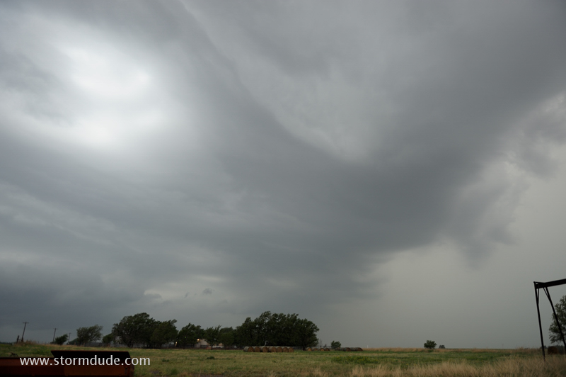
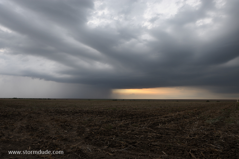
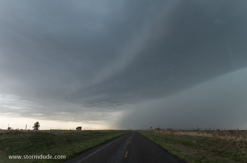
May 15: Southeastern Colorado thunderstorm
Scenic updraft over the High Plains of southeastern Colorado.
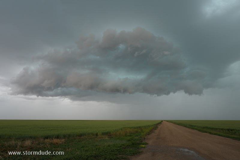
Rain-cooled downdrafts take over.
May 16: Eastern Colorado thundershower
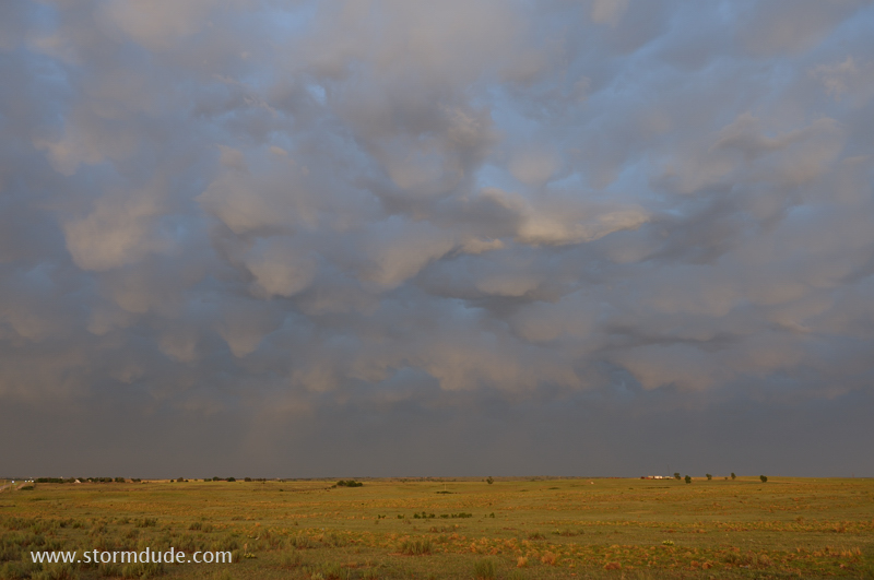
Small thundershower between Wray and Holyoke in far eastern Colorado.
Storm has nearly dissipated by sunset.
May 18: Western Kansas Storms
Thunderstorm along cold front north of Scott City, Kansas.
Beautiful structure at sunset.
Another storm intensifies over Quinter, Kansas.
Inflow area south of the storm.
High-based thunderstorm over the Plains of western Kansas.
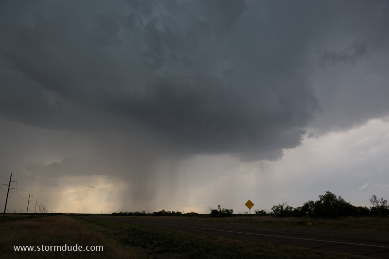
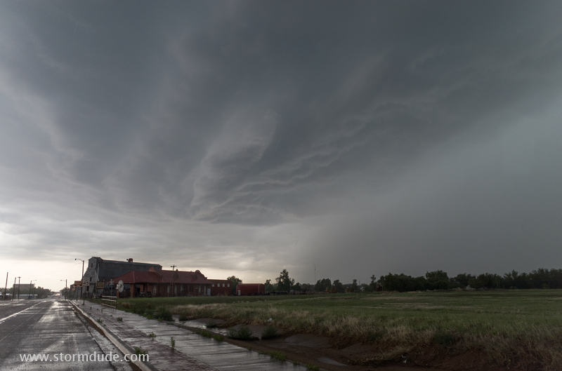
May 19: Northwest Texas Storm
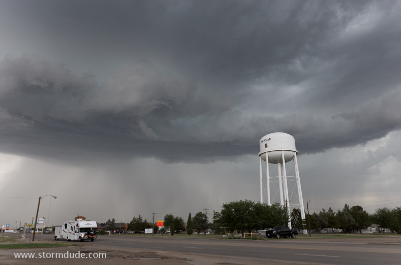
Thunderstorm passing over Quanah, Texas, near the Red River.
Wide-angle view.
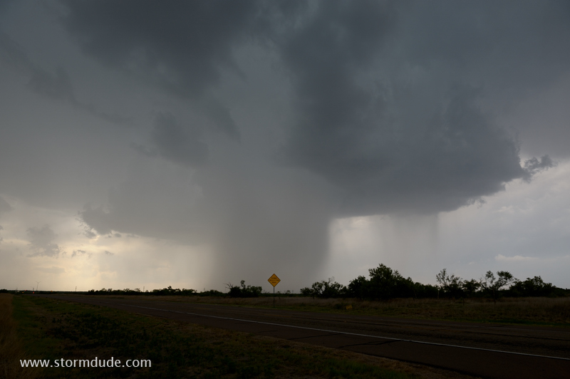
New storm approaching Paducah.
Last photo before the town is hit by torrential rain and nickel-size hail.
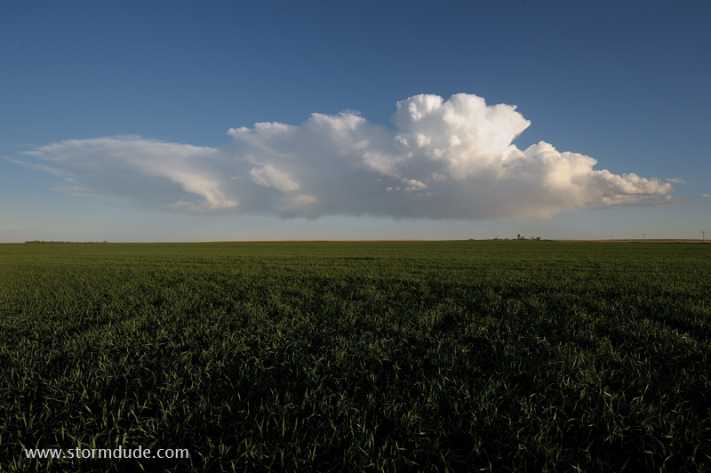
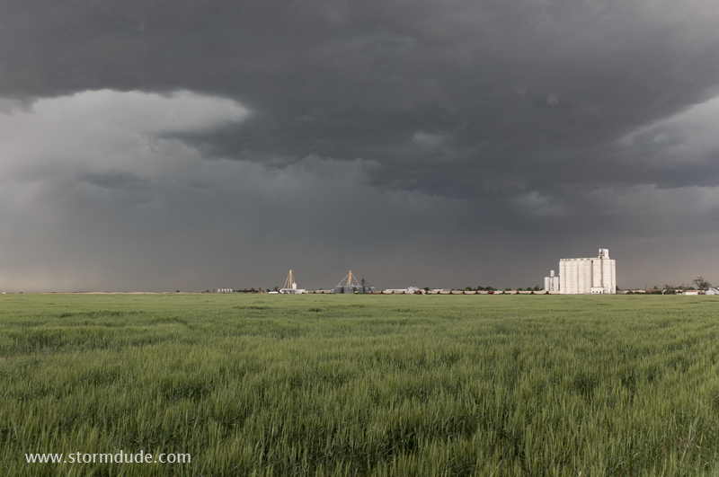
May 24: Eastern Colorado Storm
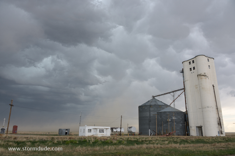
Thunderstorm moves across the High Plains of eastern Colorado.
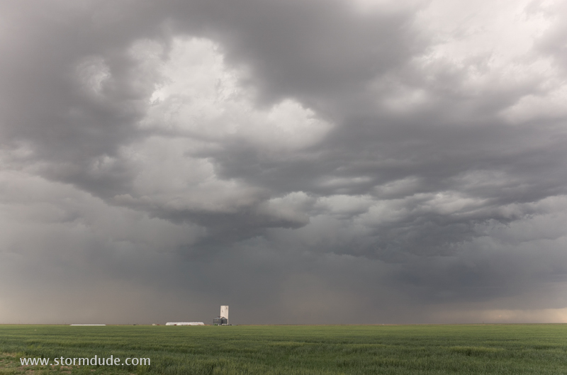
High-based storm with strong downdrafts and not much rain.
Wheat-growing region of far eastern Colorado and western Kansas.
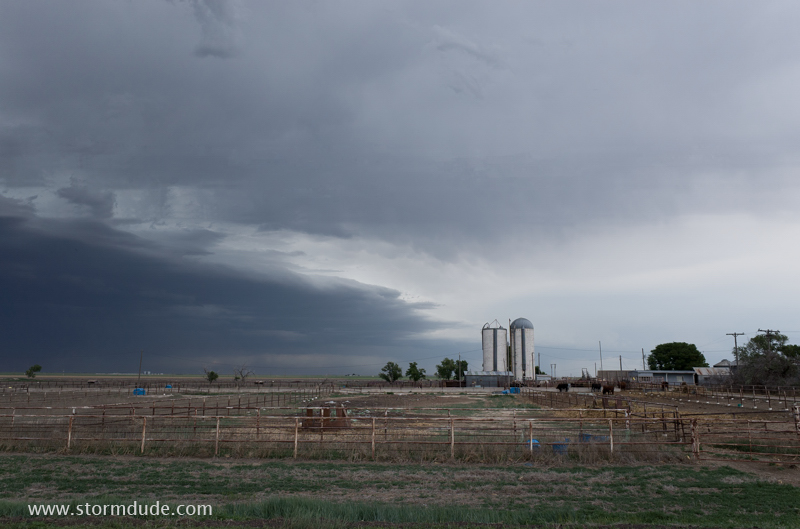
Western Kansas cattle ranch.
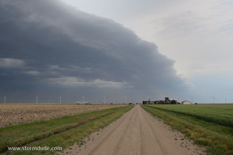
Leading edge of squall line.
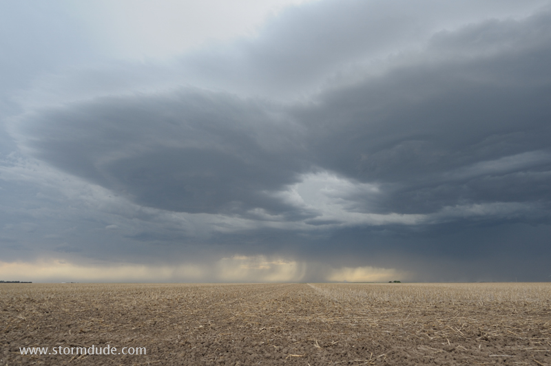
Strange cloud formations on the southeast edge of the storm complex.
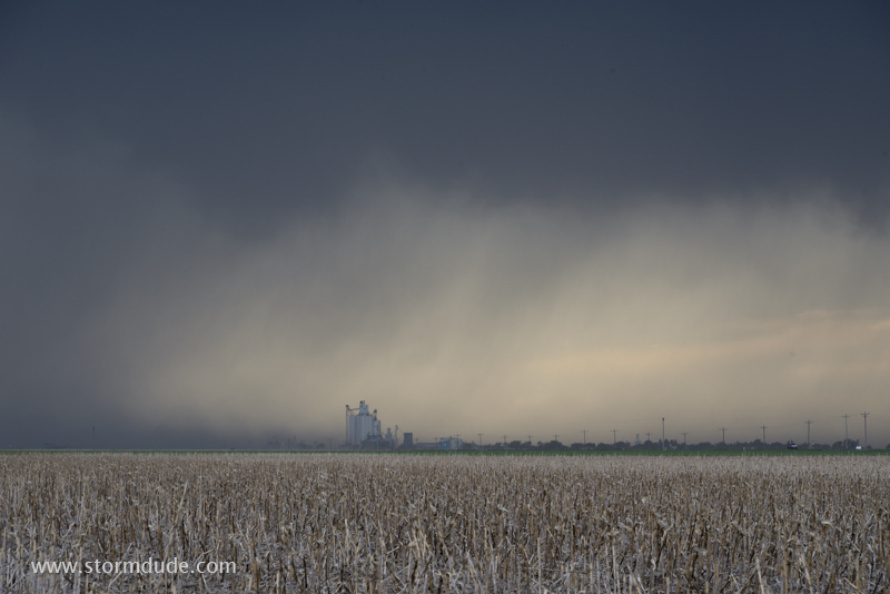
Downpours approach a grain elevator in western Kansas.