May 7th: Southern Kansas Thundershower
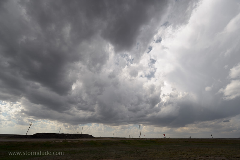
Late afternoon convection at the intersection of Highways 283 and 160 in southern Kansas.
Scenic thundershower despite the availability of only limited moisture, a recurring pattern this spring.
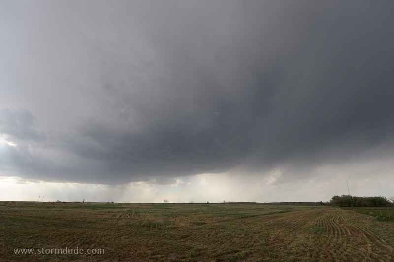
Early evening storm near Bluff River northeast of Ashland.
Storm weakens at dusk as it moves over Coldwater, Kansas.
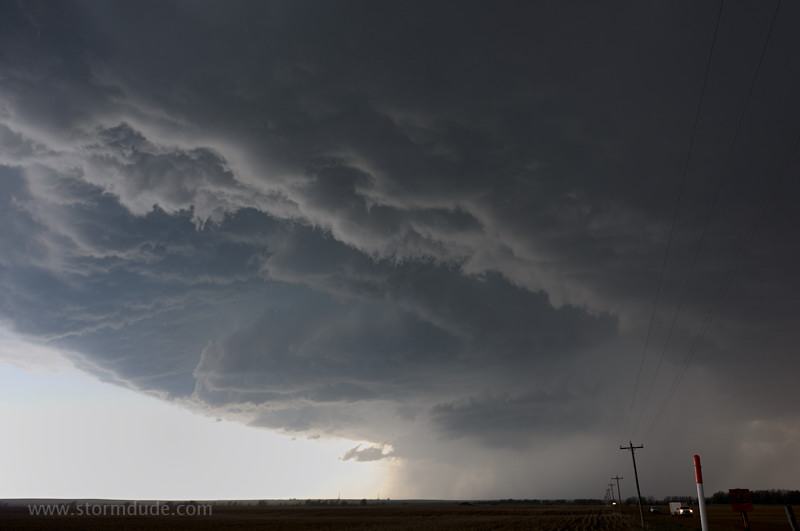
May 8th: Southern Kansas LP Supercell
Storm develops over far northern Oklahoma and moves into Kansas.
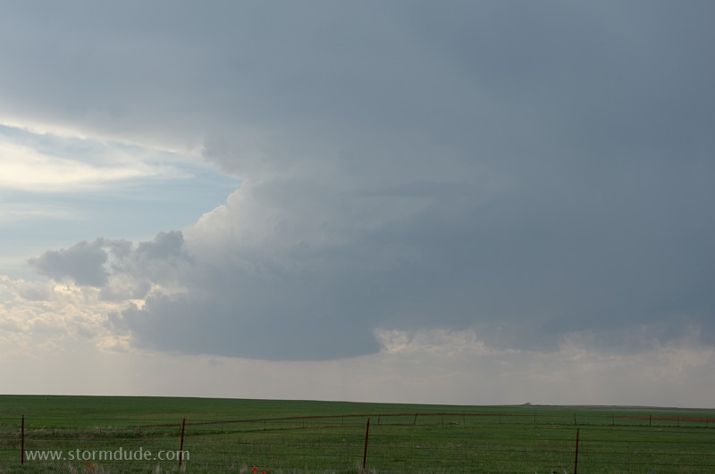
The storm splits apart with the southern cell slowing and then making an eastward turn.
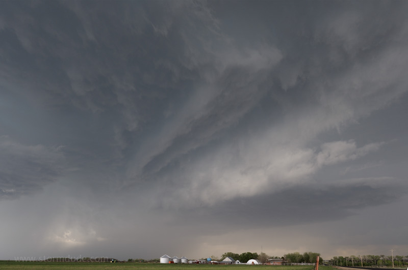
The cell grows slowly as it drifts across the Kansas countryside.
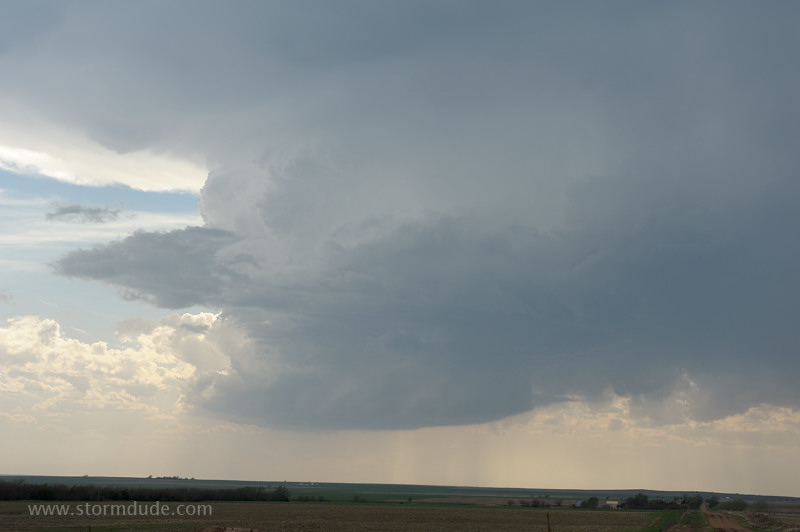
It evolves into a beautiful LP Supercell (Limited Precipitation).
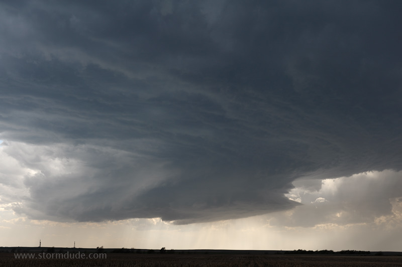
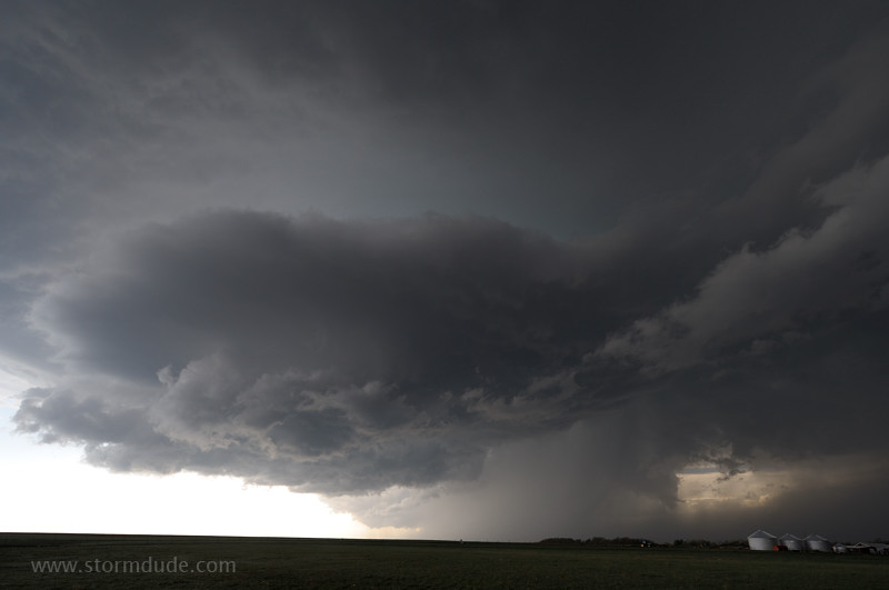
Stunning supercell structure southeast of Sitka.
The grandeur of an LP Supercell over the Plains.
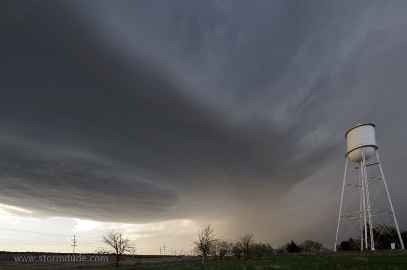
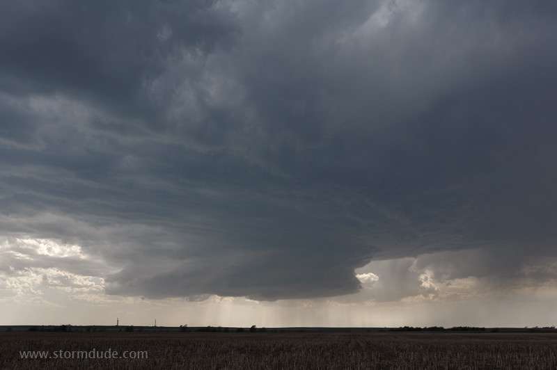
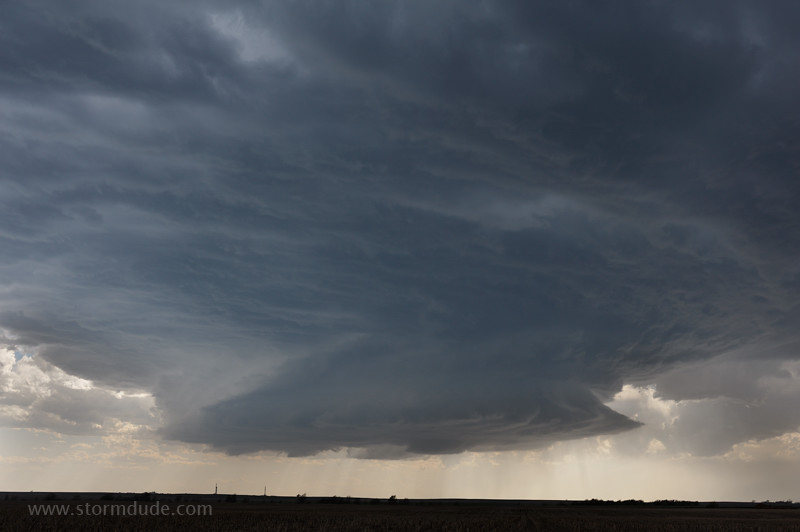
The updraft base begins to flare out as it nears my position just west of Highway 1.
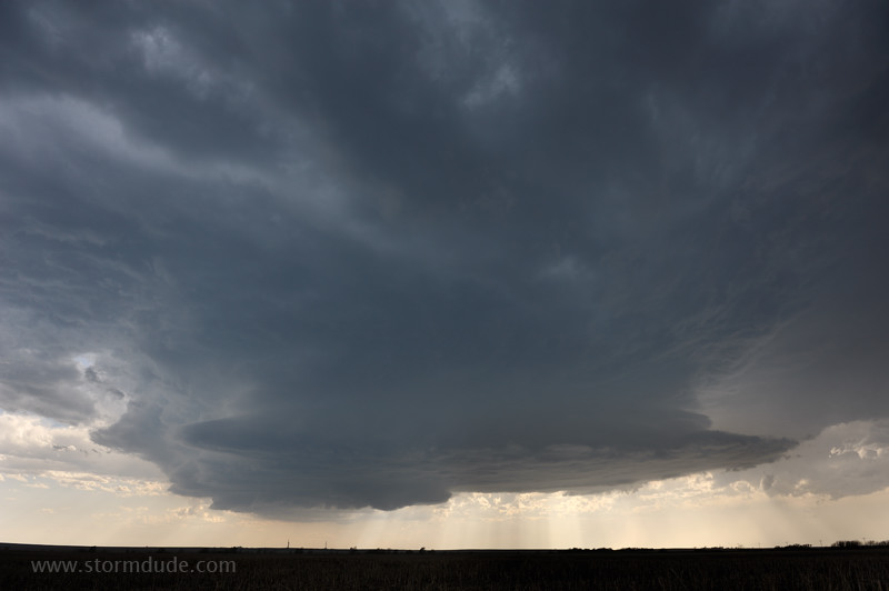
The updraft weakens and it begins to rain.
I head south as the storm turns into a rainy mess.
Looking back north at the storm.
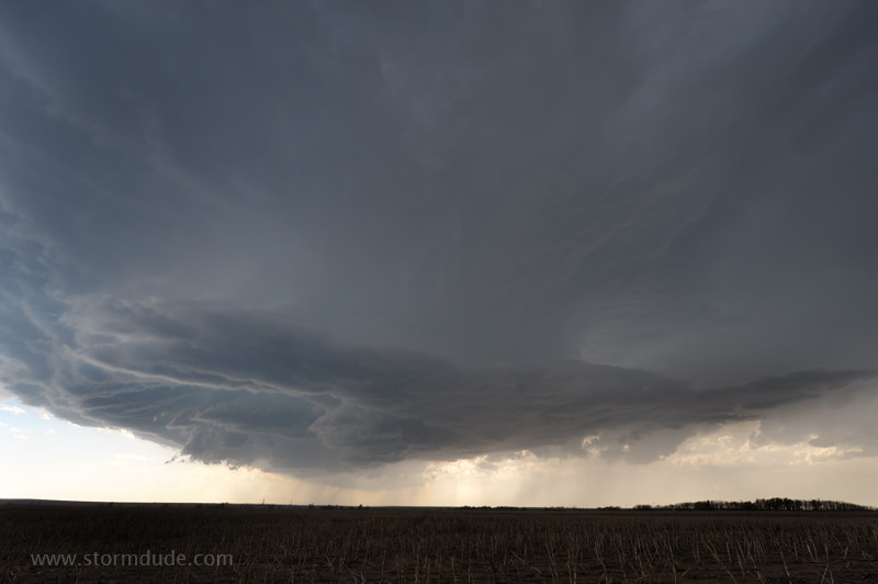
The updraft is undercut by cold winds flowing out of the storm.
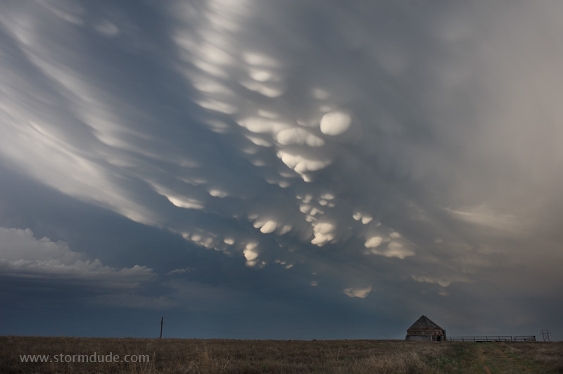
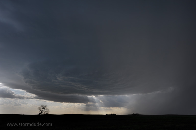
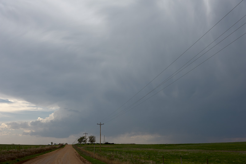
On my way south to set up for the next day, I pass by some spectacular mammatus.
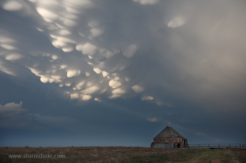
If you've never seen severe storm mammatus, it's hard to believe these images are real.
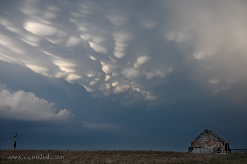
One last view before the sun drops below the horizon. Altogether a great day for storm photography.
May 9th: Central Texas Storm
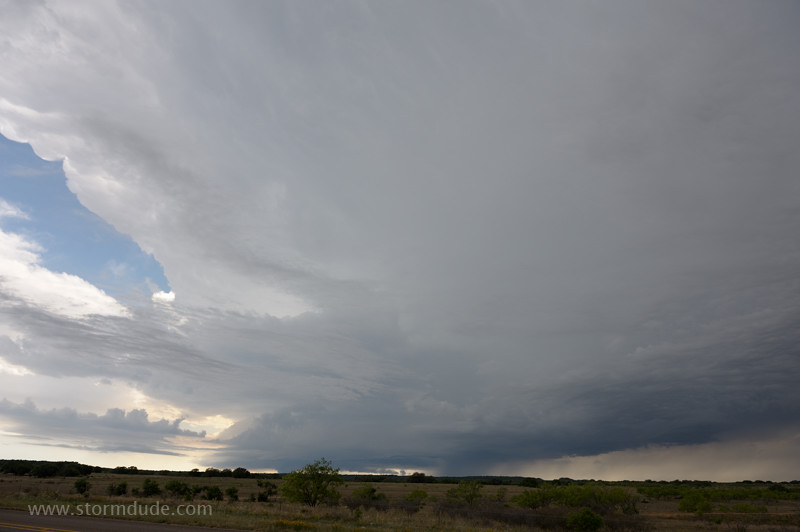
Morning storms over central Texas ruin the prospects for supercells in southern Oklahoma. As an alternative, this storm forms southeast of Abilene.
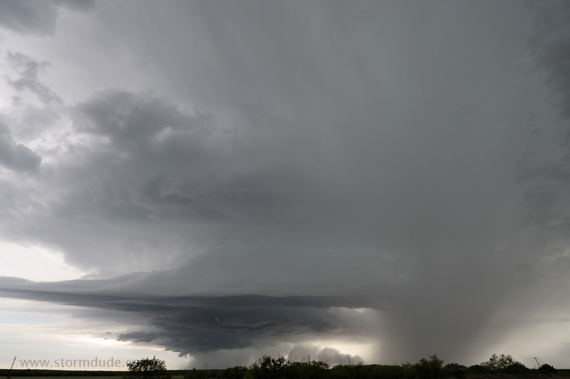
It takes a while to find a view that isn't blocked by hills and trees, but this is the reward.