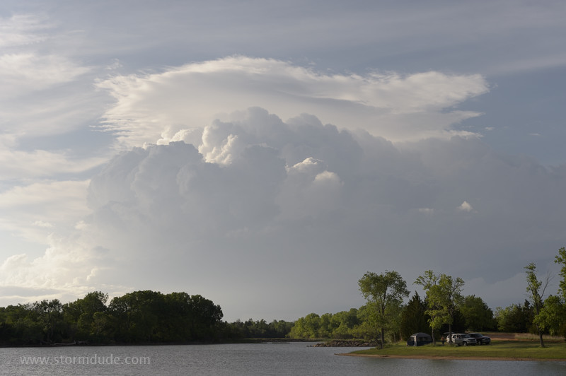
May 19: Central Kansas Storm
Hot, humid day in central Kansas with a warm front moving slowly north to near I-70.
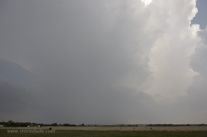
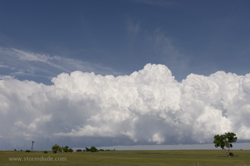
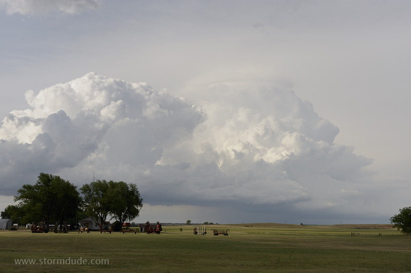
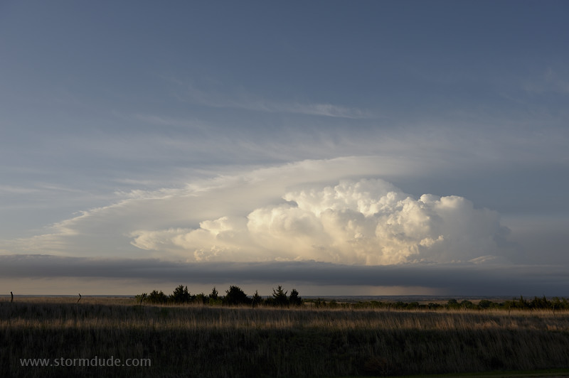
Storm towers form south of Russell.
Elongated HP Supercell over Wilson Lake.
Storm becomes an outflow-dominated mess as it moves east along the warm front, bringing flooding rains to the Lincoln, Kansas area.
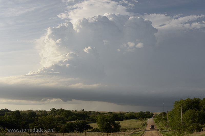
May 20: Southern Kansas Thunderstorms
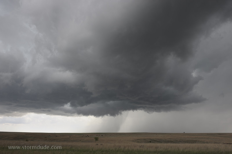
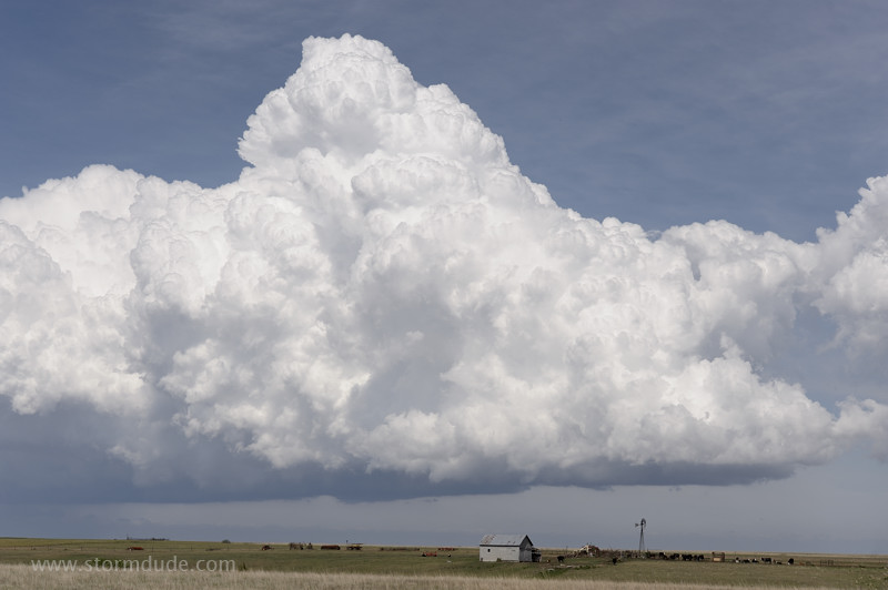
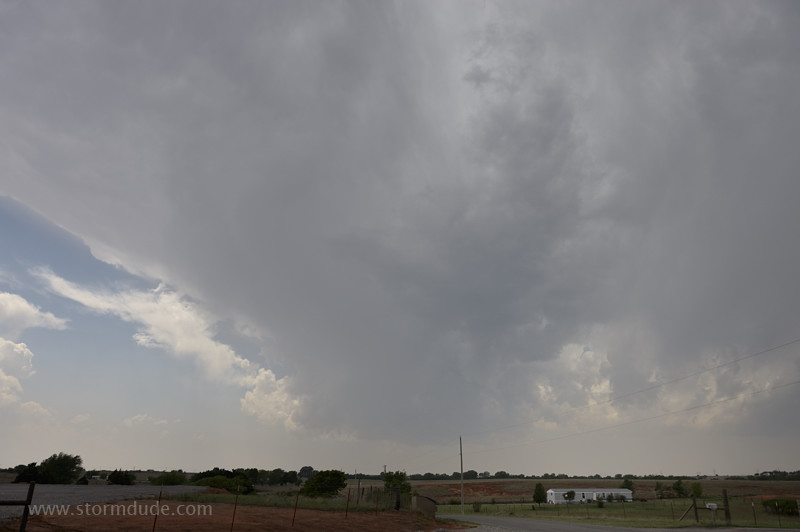
Marginal conditions today, but still enough for a scenic storm southwest of Greensburg, Kansas.
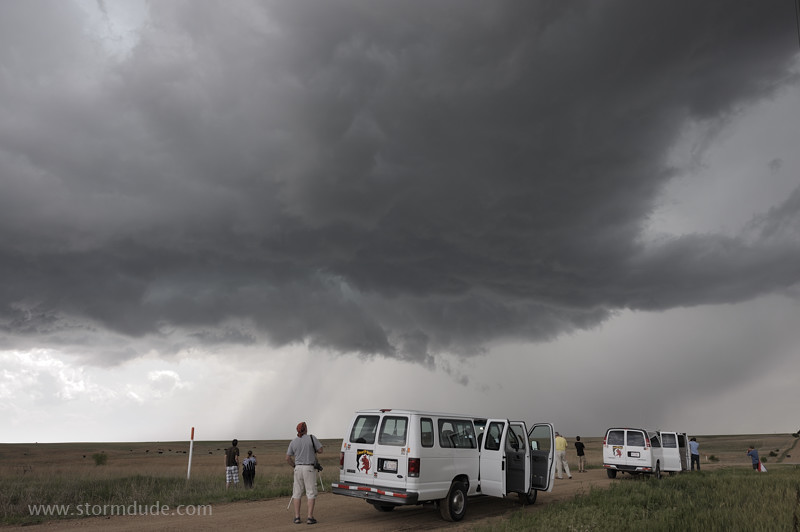
Storm tourists enjoy close-up view of the slow-moving cell.
I let the storm get ahead of me so I can take a scenic drive through the Gypsum Hills.
Storm over newly rebuilt Greensburg.
Rich cattle-raising land of southern Kansas.
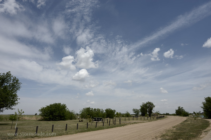
Perfect spring day in rural Kansas.
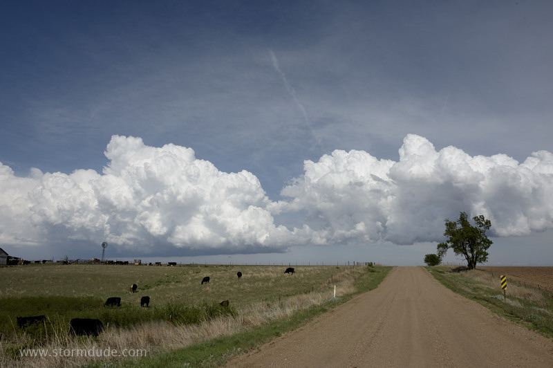
Well-maintained dirt road takes me behind the slow-moving line of convection.
In the scenic Gypsum Hills region of southern Kansas.
Looking north after crossing under the wind-shift line.
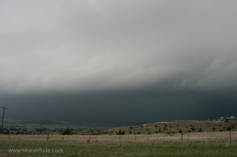
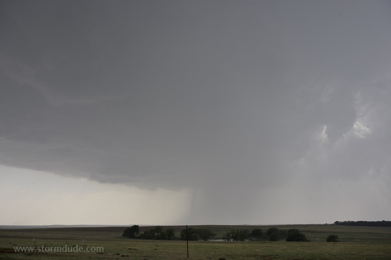
View to the north from Barber Lake, adjacent to Medicine Lodge. Storm is over Pratt.
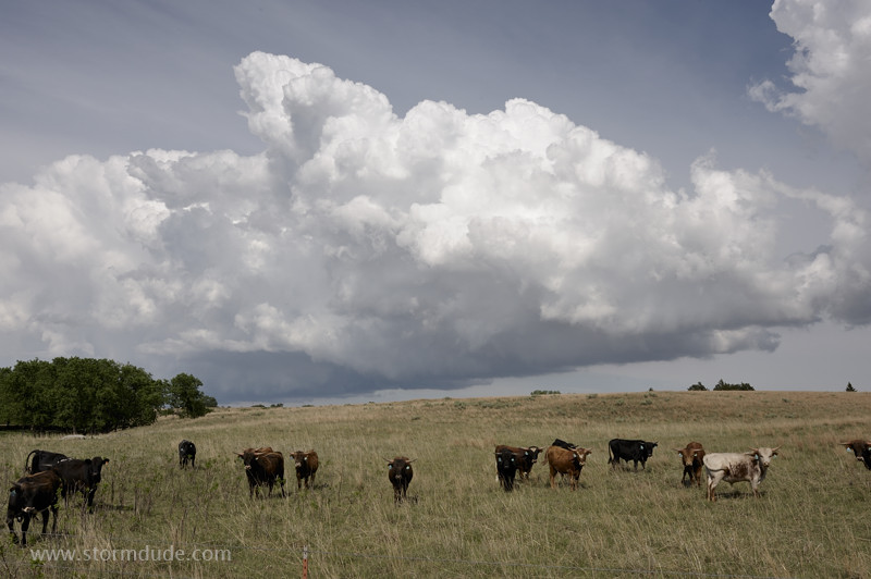
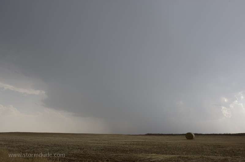
Storm shows signs of weak rotation as it drops quarter-size hail.
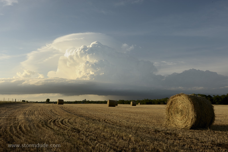
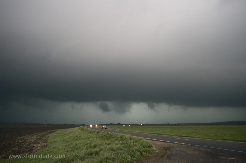
Near dusk.
Another classic Great Plains scene.
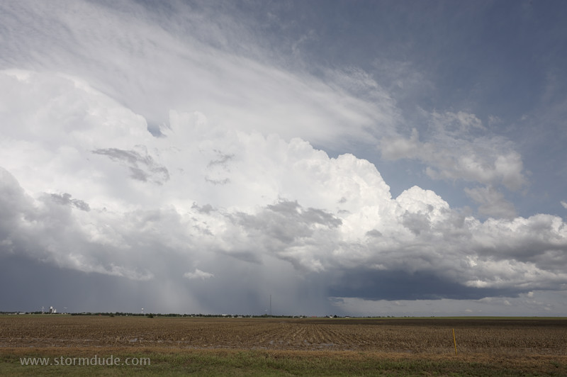
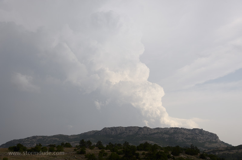
May 23: Southwest Oklahoma Supercell
Storms fire up on the dryline in western Oklahoma on a hot, humid day.
I intercept a developing storm south of Cordell.
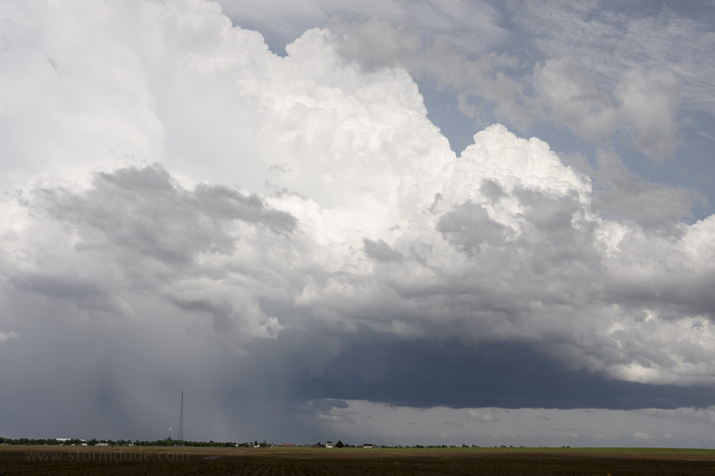
LP-type structure with large hail a growing threat. I drive south through widely-scattered golfball-size hailstones falling on the highway and surrounding fields. Nothing hits me, and I'm almost clear of the hail, when a stray tennis-ball stone takes out my sunroof.
After calling off the chase to cover the hole and make plans for a replacement the next morning, I get a pretty view of the backside of a storm.