April 22: Henrietta, Texas Storm
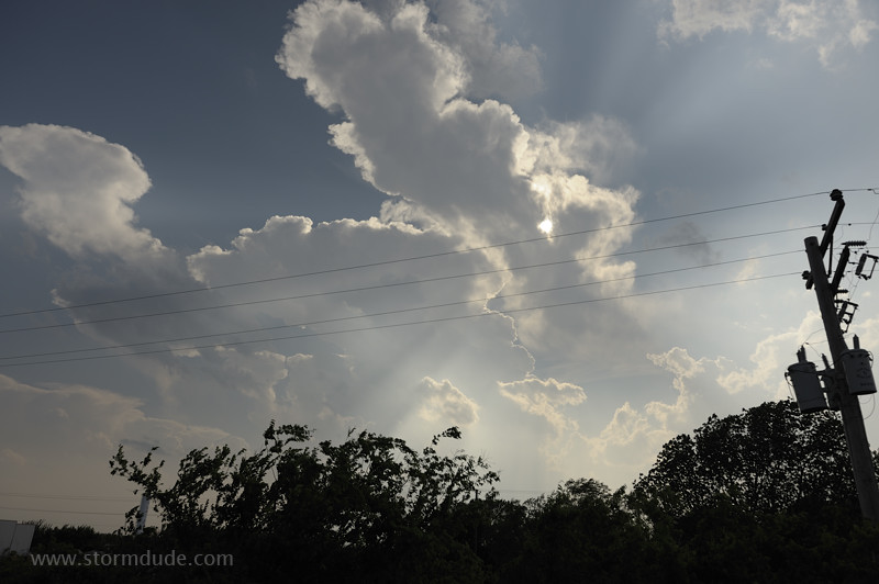
Cumulus tower develops on a hot afternoon in far southern Oklahoma. But this soon weakens as a storm forms further south, on the other side of the Red River.
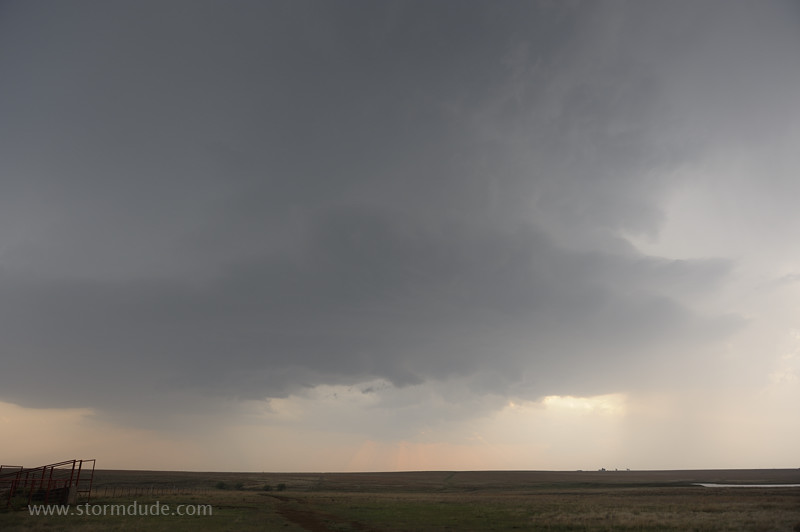
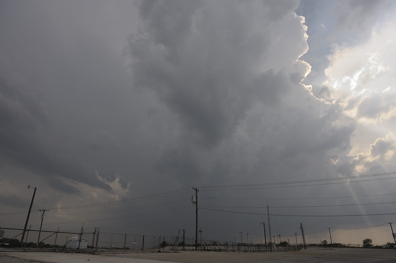
Updraft east of Wichita Falls, Texas.
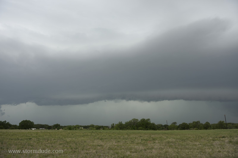
Storm approaches ranch north of Henrietta.
It turns into a cloudburst and weakens.
April 23: Decatur, Texas Storm
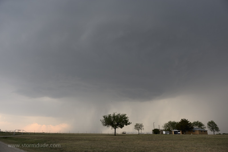
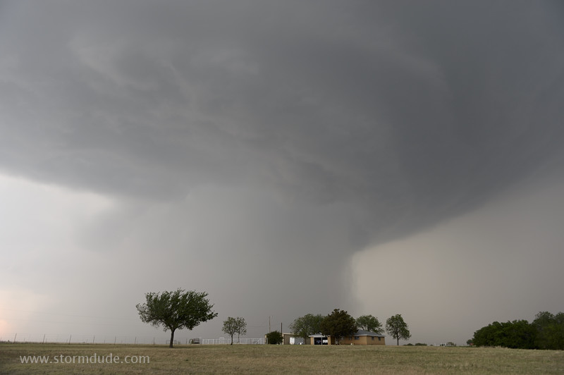
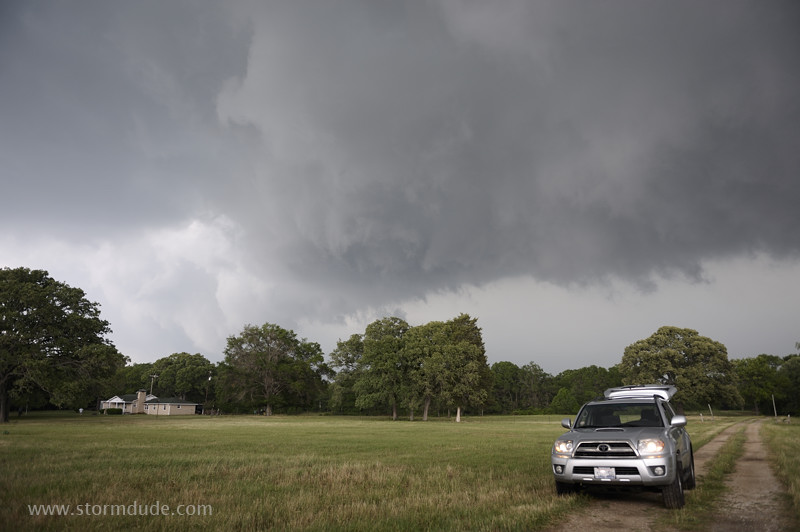
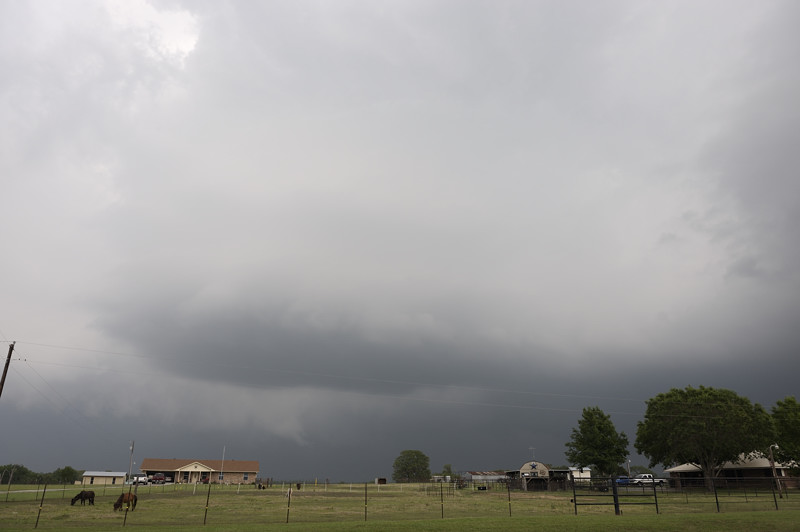
Storm develops west of Bridgeport in north central Texas.
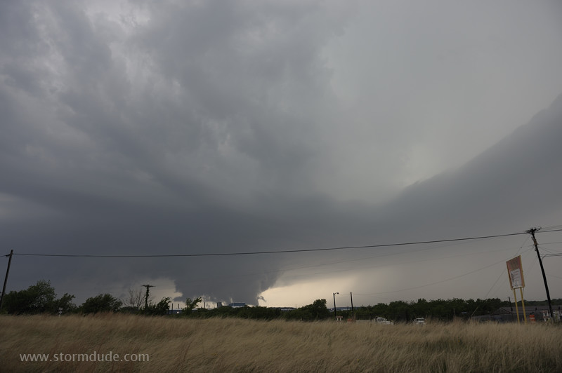
Tornado sirens go off in Decatur as a wall cloud develops. It isn't rotating, however, and cold outflow soon weakens the storm.
The thunderstorm heads east.
April 24: Springtown Squall Line
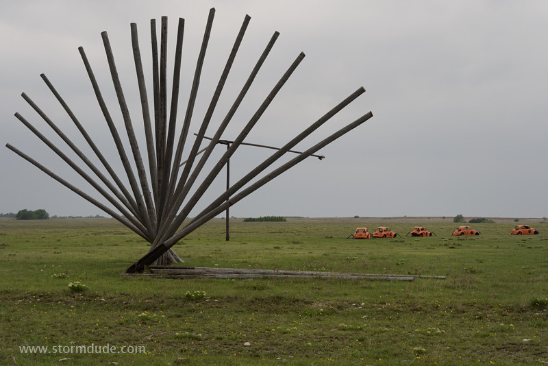
Unusual artistic display by Earl Nunneley on Running N Ranch south of St. Jo, Texas.
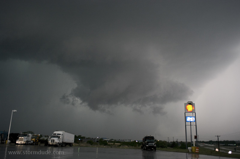
Squall line west of Springtown, northwest of Ft. Worth.
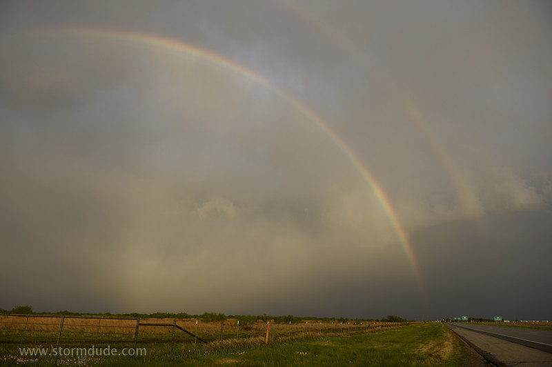
Double rainbow behind the storm.
April 26: East Texas Storm
High-risk day draws me outside of the normal Great Plains chase territory. But thick stands of trees are everywhere and I fail to see tornadoes only two or three miles away.
The only clear view I get, but again without seeing the tornadoes that drop to the northwest and northeast of my position. Can't wait for storms to return to the wide-open Plains!