April 29: West Texas Storm
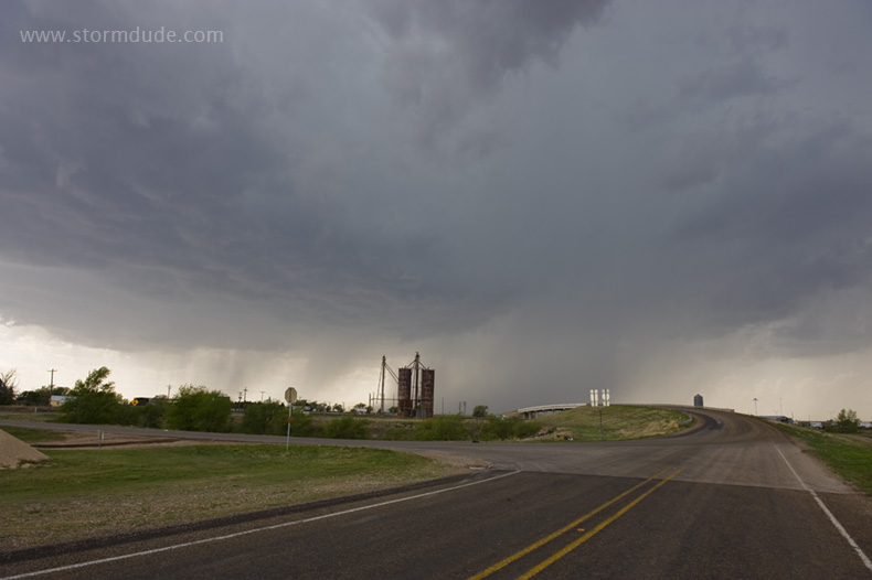
Thunderstorm develops just north of Lubbock.
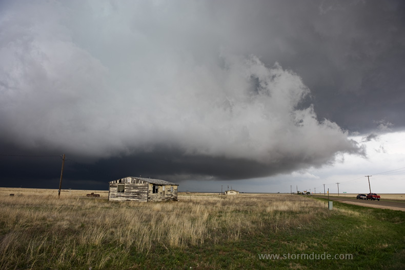
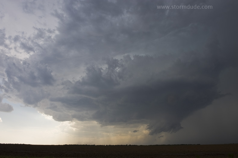
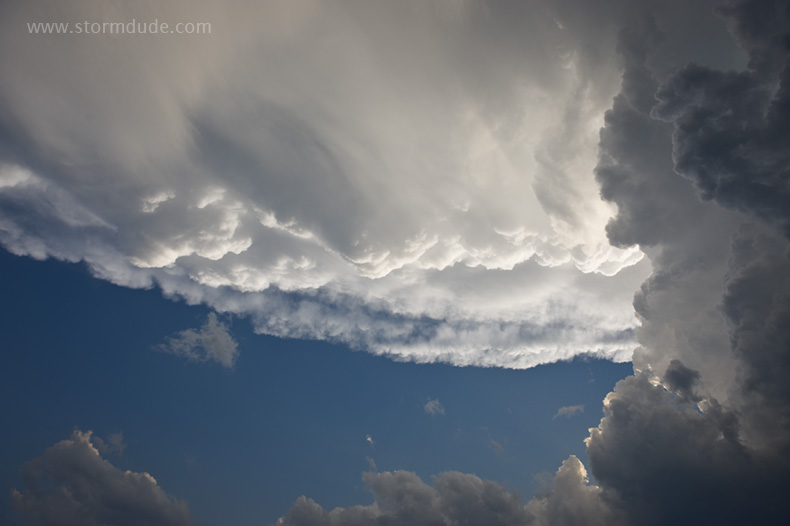
Eerie scene as the storm gathers strength.
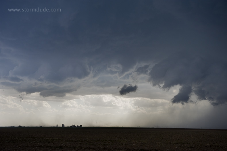
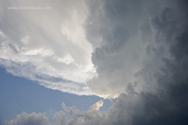
Gorgeous updraft over flat Texas farm country.
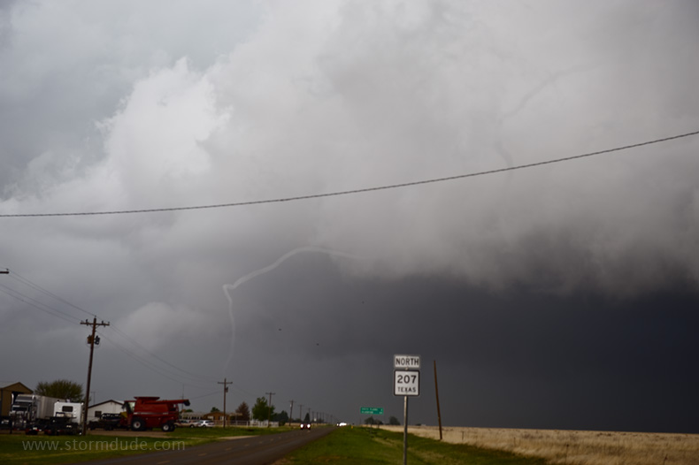
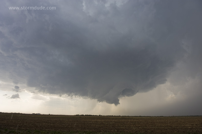
Rope tornado before it quickly dissipates.
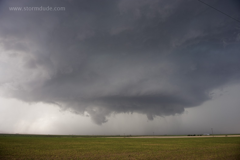
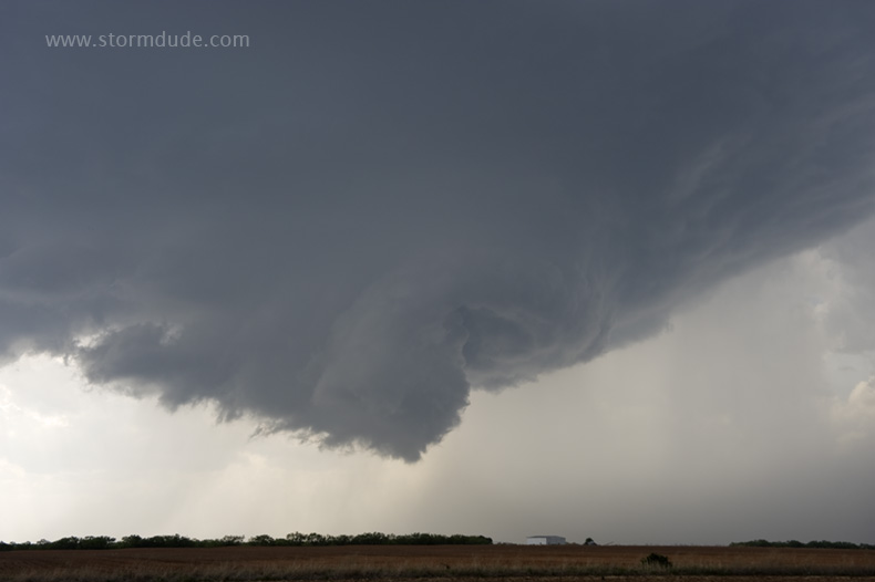
Looking east as the storm turns right. Staying with the storm would mean no decent escape route, with only muddy roads to take me south out of the path of the tornadic supercell, and an easterly road that turns towards the northeast in a few miles. (Several storm chase vehicles end up slipping off muddy roads inside this storm.)
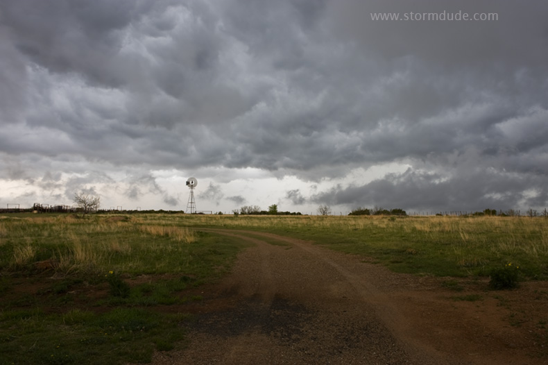
Ranch scenery behind the storm at dusk.
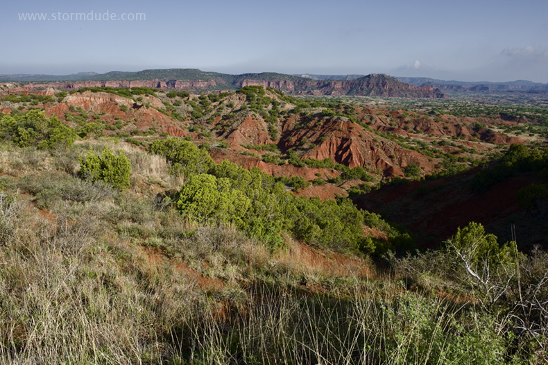
The next morning at Caprock Canyons State Park.
May 1: Central Texas Storm
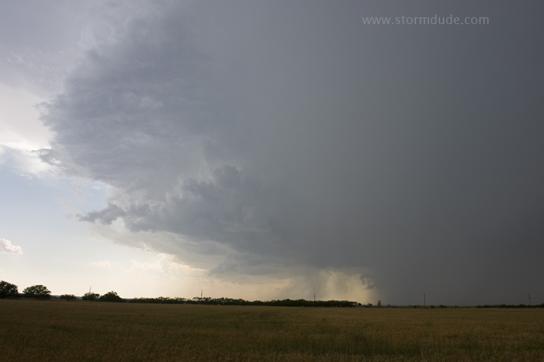
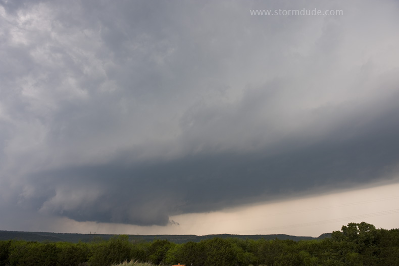
Storm develops in central Texas on a hot, humid afternoon. I intercept it just north of Haskell.
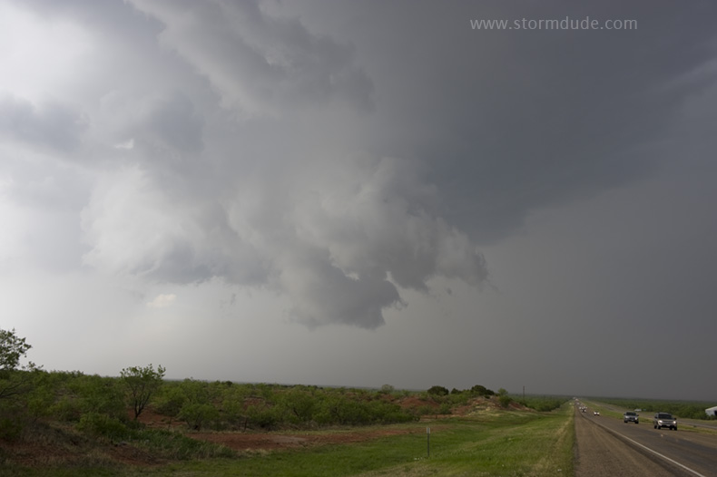
Wall cloud develops at the front of the storm as it moves slowly south.
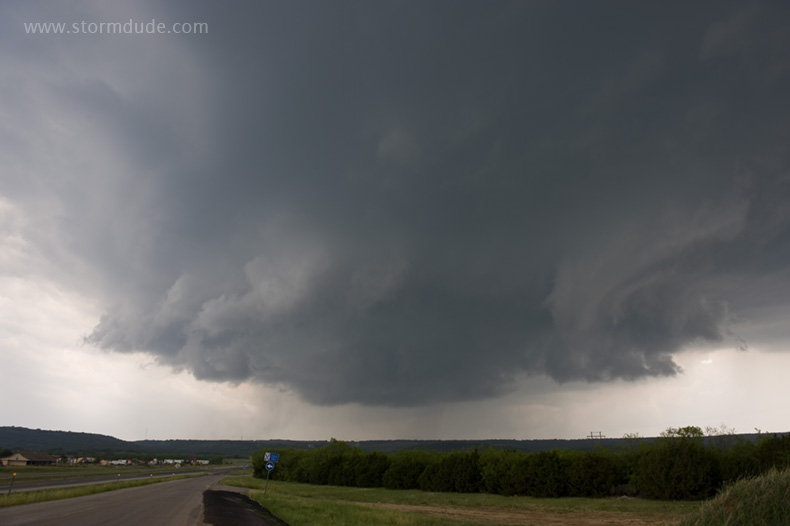
Odd structure.
Closer view.
The storm weakens as it approaches Stamford.
May 5: Texas Supercell (Pam's first chase!)
Hot, humid Texas afternoon in Albany, near the triple point.
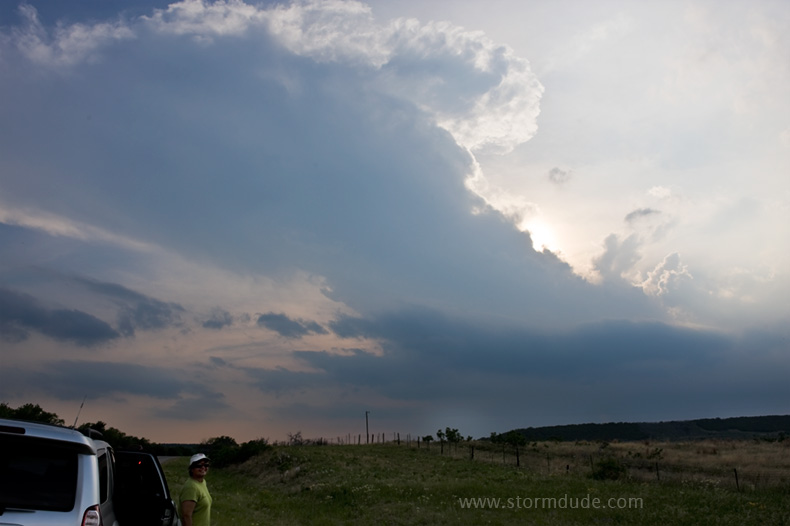
Early in the evening, a storm fires near Breckenridge.
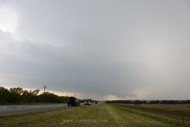
Storm moves east, towards us. When it begins turning right, we head to route 717 to go south. Road closed!
After a long detour, we finally get in front of the storm just south of Strawn.
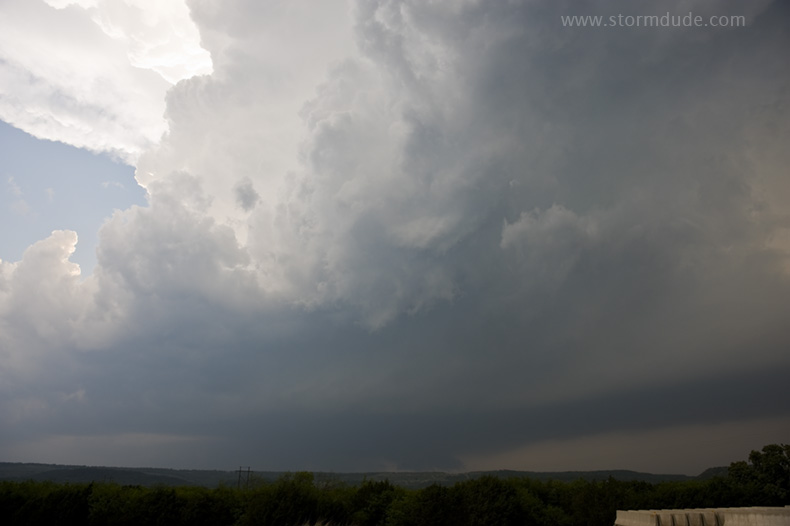
Spectacular formation overhead.

Pam sees her first chaser convergence (another 20 or 30 cars showed up a few minutes later).
Storm continues moving southeast as sunset approaches.
Updraft base and wall cloud.
Last view before the storm weakens. Pam gets a good sense of chasing on her first time out: waiting in a small town on a hot, humid afternoon, watching a storm fire at the triple point, an isolated supercell, lots of nearby CGs (cloud-to-ground lightning), a right-turning storm, a road closure, marble-size hail (during our detour), good view of storm structure, nearby wall cloud, chaser convergence.