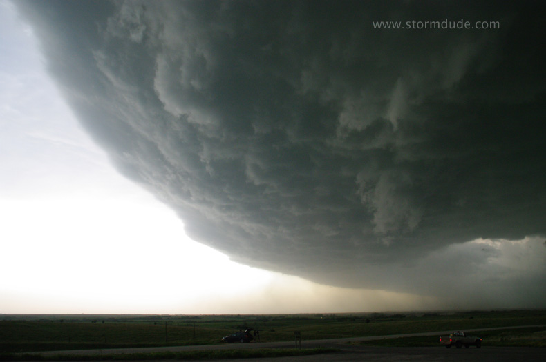
June 11: Central Kansas Supercells (Ellsworth County)
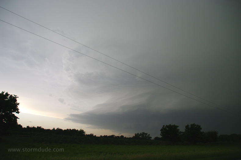
After my morning target of southeast Nebraska fizzles, I drift south and eventually intercept this supercell four miles northwest of Ellsworth.
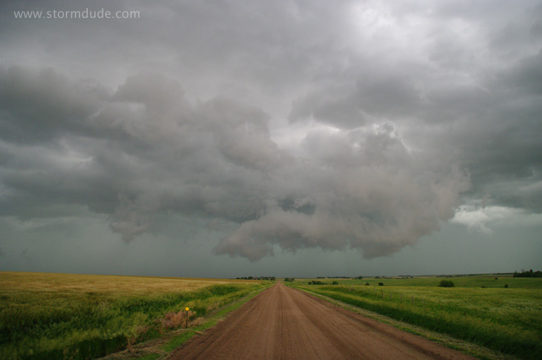
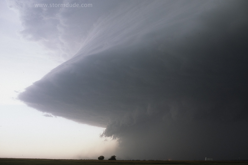
Sculpted storm with a wall cloud.
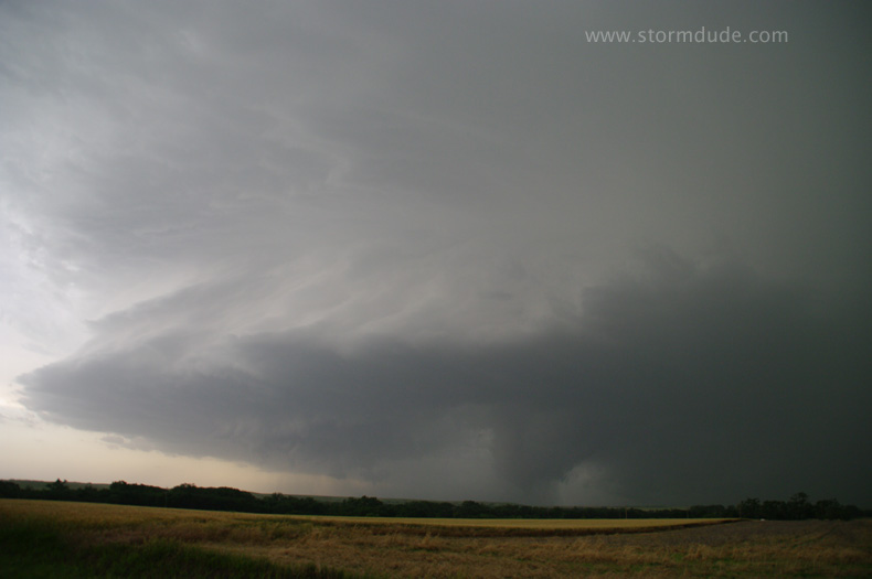
A couple of minutes later, the wall cloud is threatening to drop a tornado.
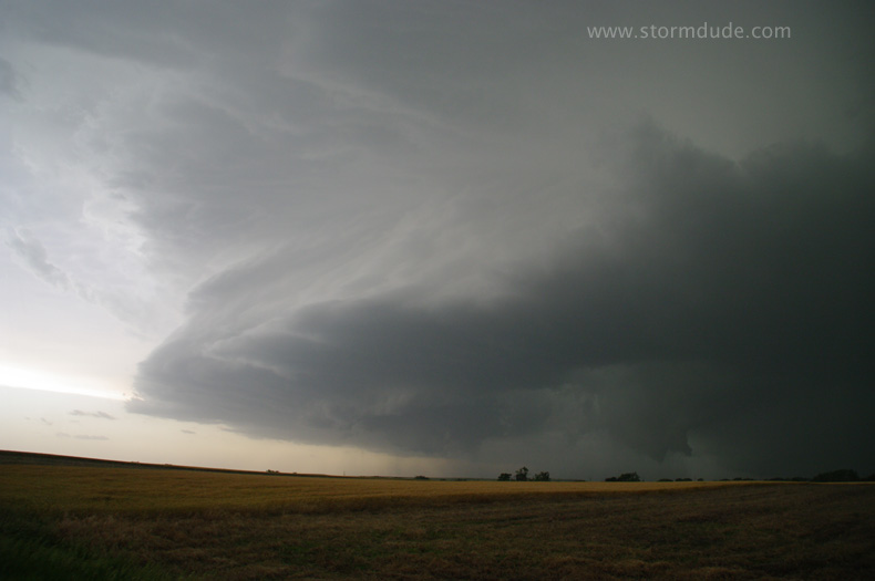
Funnel descends.
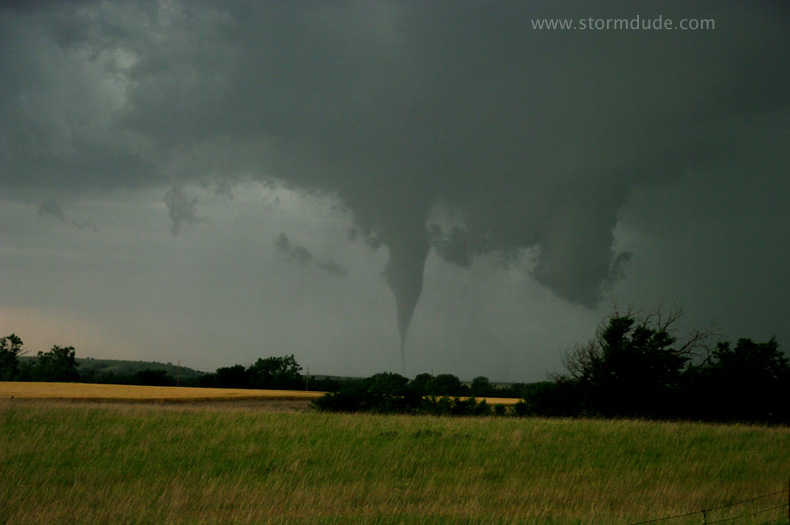
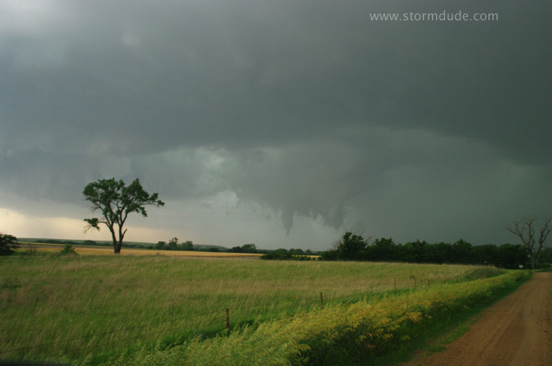
Small tornado a couple of miles away.
Wide-angle view as the tornado lifts.
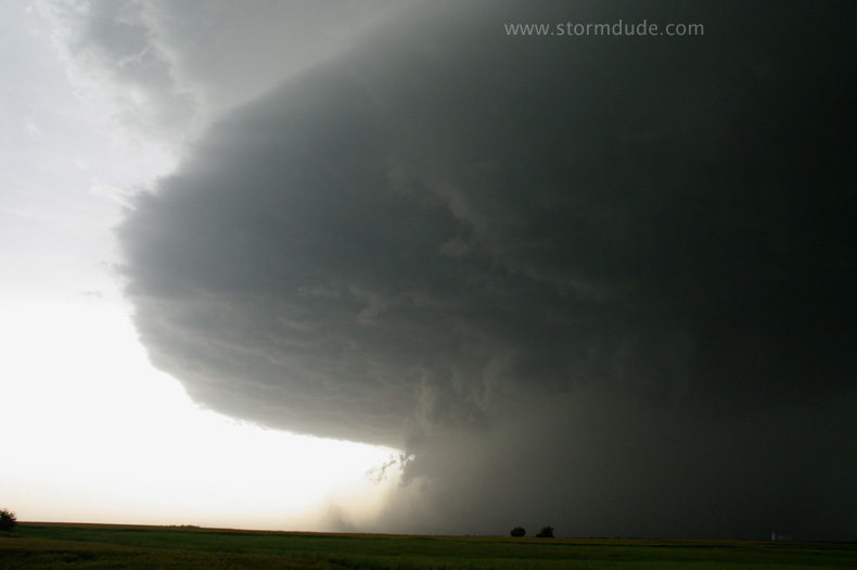
Wall cloud just to my northwest.
Rain-cooled air overwhelms the updraft.
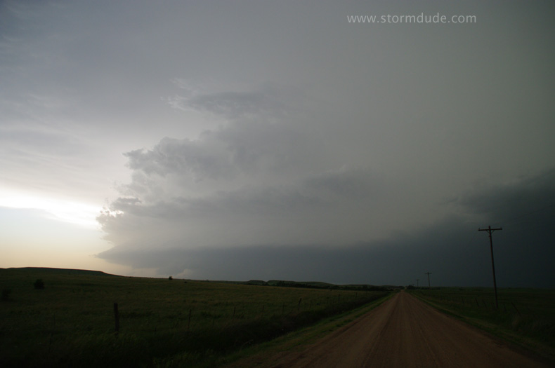
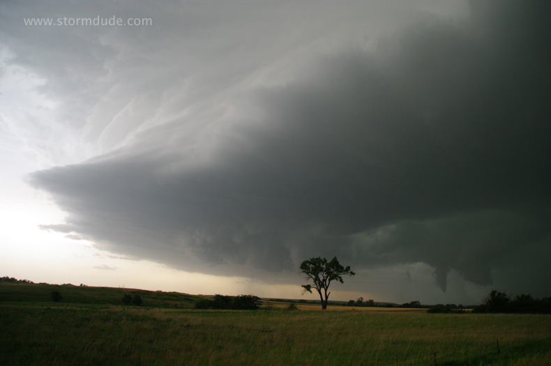
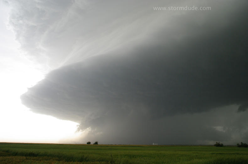
I intercept another storm eight miles south-southwest of Ellsworth.
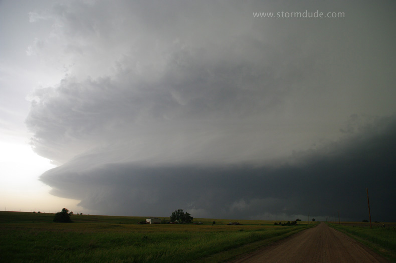
This powerful supercell has already produced tornadoes.
Imagine this bearing down on a Southern California suburb.
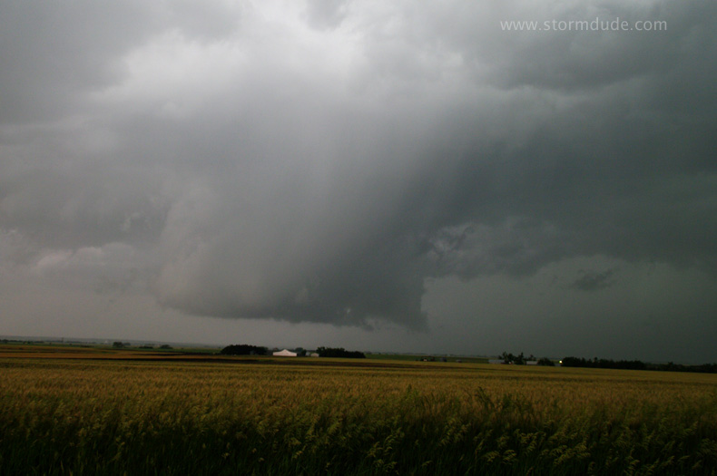
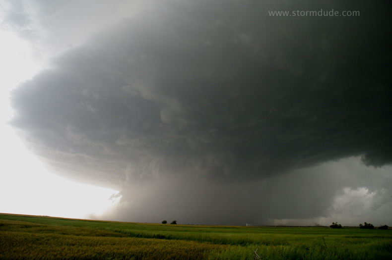
The storm is over the town of Lorraine.
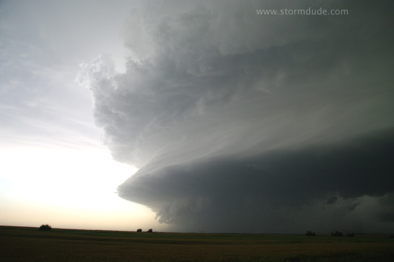
A minute later.
A tornado is reported but is obscured by rain.
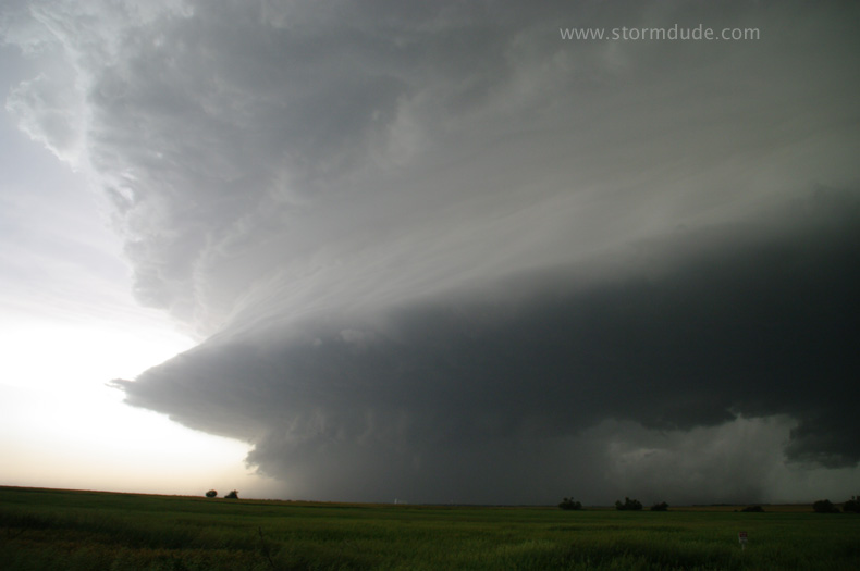
A couple of minutes later.
Last view before I head south then east to get back in position. But the storm is moving east-northeast at 55 mph in an area with few roads as dusk approaches.
Final look at southern edge of storm. Things really got nasty after dark as this storm raced across northeast Kansas, including a direct hit on the town of Chapman