May 1: Southeast Kansas Storms
April finishes quietly on the Plains, but May opens with a promising situation in southeast Kansas. This storm is southwest of Fredonia (not Freedonia, for Marx Brothers fans).
Golf ball size hail falls from the first storm as another develops further to the southwest.
New storms continue developing to the southwest as the entire line weakens.
Sean Casey and Josh Wurman's team.
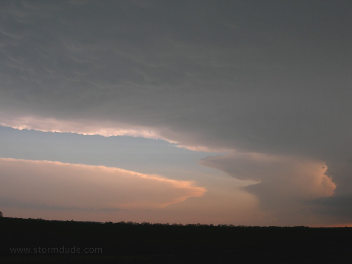
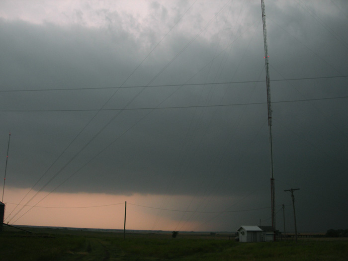
As dusk approaches, the anvil from a much stronger supercell dominates the southern sky.
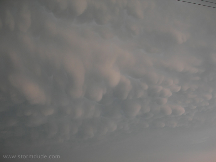
Mammatus at dusk. The best storms of the day were in northeast Oklahoma, although I always prefer the pastures of southeast Kansas over the hills and forests of eastern Oklahoma.
May 7: North Texas Thunderstorms
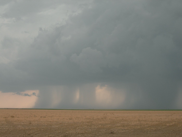
Afternoon thunderstorm near Ringgold, a small town halfway between Wichita Falls and Gainesville.
Nothing but outflow.
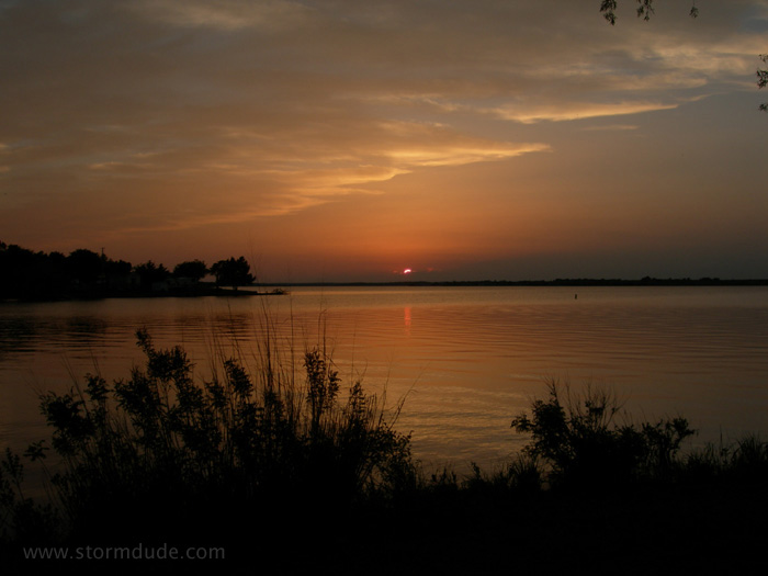
Actually taken two days later at Lake Carl Blackwell, just west of Stillwater, Oklahoma.
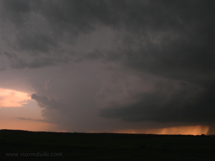
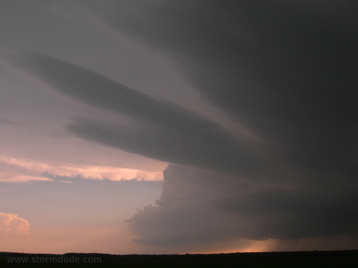
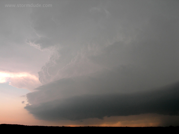
May 22: Western Kansas Supercells
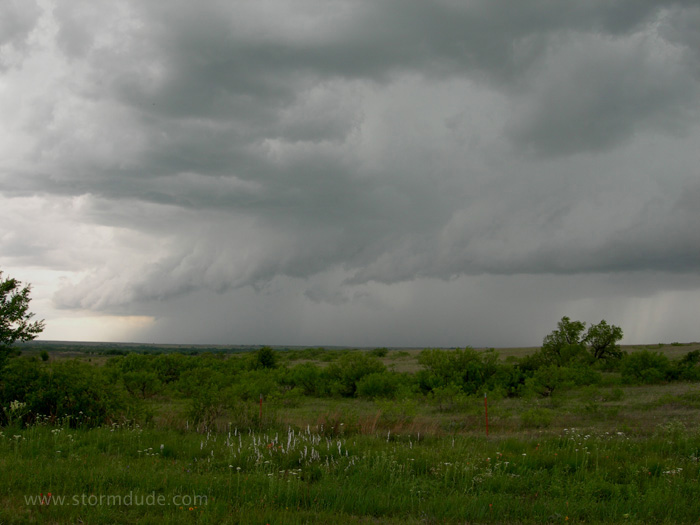
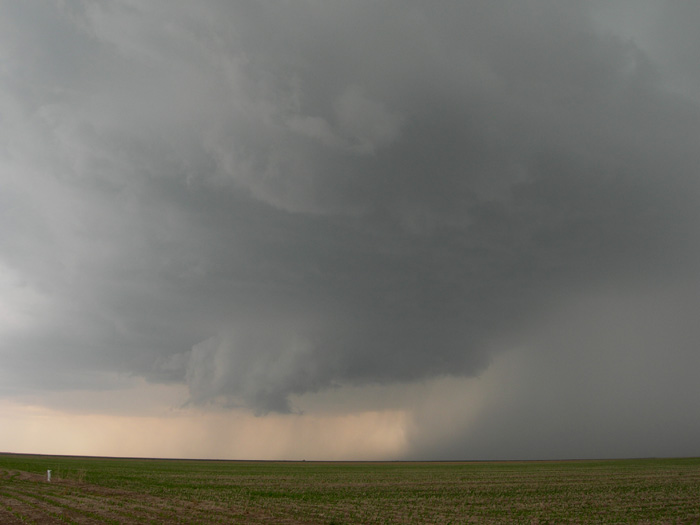
Would you call this in as a tornado? Actually the tornado look-alike in the middle is a rainshaft.
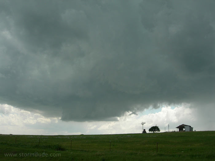
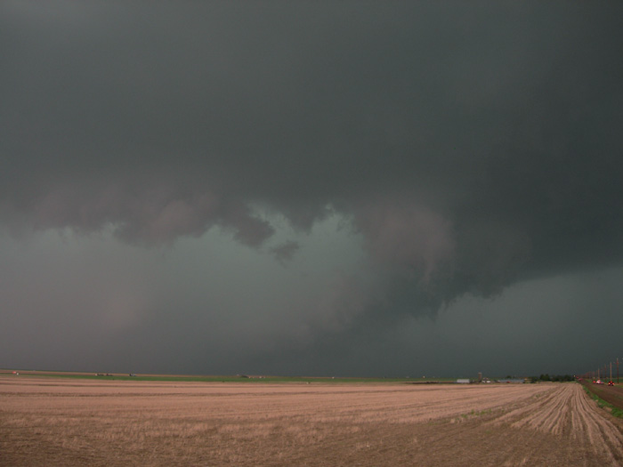
Wall cloud near the tiny town of Grigston, east of Scott City.
The storm is racing north and I don't get a good photo again until it reaches I-70.
Cold outflow reduces tornado potential and sends the chasers back east and then south to the next storm.
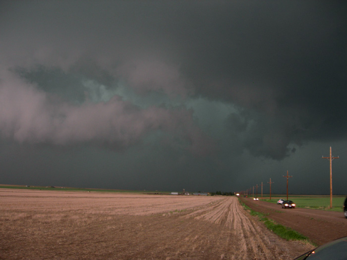
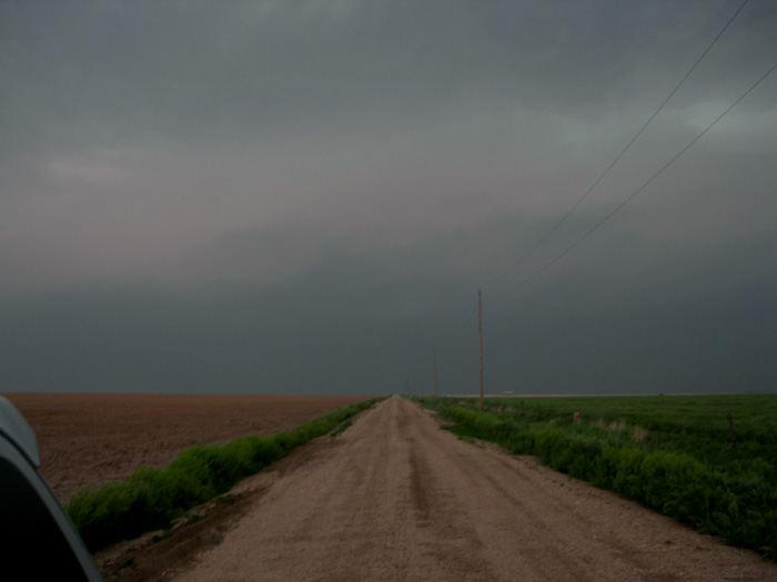
Back to the south, near Pendennis, Kansas, a new supercell approaches.
Powerful storm over Kansas farmland. It's racing north-northeast with only dirt roads to stay close. I decide to get a few miles further east, turn north and try to stay with it, but the storm is moving too fast.
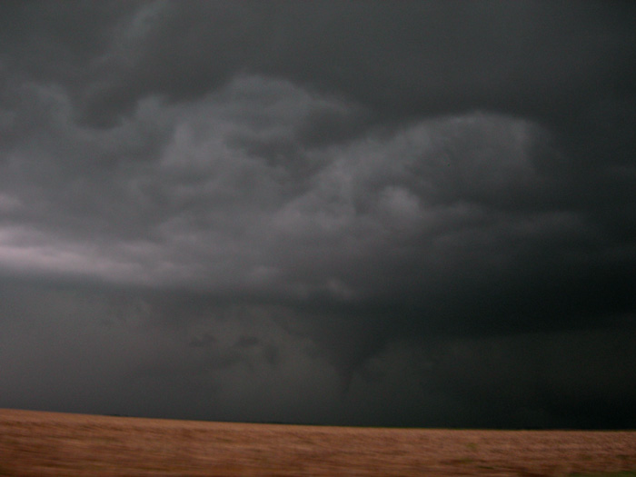
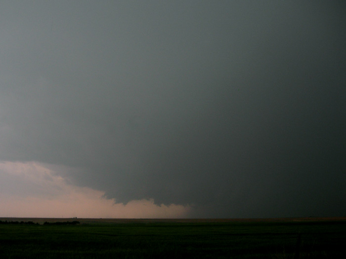
Brief glimpse of cone tornado eighteen miles southwest of Wakeeney (6:30 pm). At dusk, near Trego Center, I get a look at a well-formed wall cloud and, a few minutes later, another tornado.
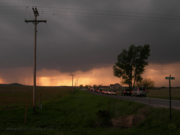
May 23: Western Kansas Supercell (Day 2)
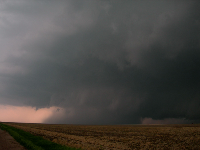
Good set-up for today in far western Kansas, closer to the jet stream and dryline. But the better storms develop in west-central Kansas. I catch this one near Ness City, but visibility is poor. Nevertheless, a stunning sight of a powerful supercell.
After driving through Ness City surrounded by close CGs (cloud-to-ground lightning strikes...think flash-bang), I set up east of town. This is my final view of the storm before I decide to intercept another better-organized storm to the south. Unfortunately that tornadic supercell turns east and stays out of reach.