April 24th: Nickerson, Kansas, LP Supercell
Another day targeting the dryline with strong upper-level winds moving into Oklahoma and Kansas. Early morning convection provides some good photo ops in southwest Kansas.
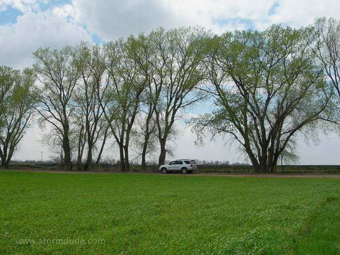
Driving northeast towards my target of central Kansas.
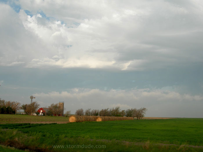
Early afternoon on another mild, breezy, gorgeous spring day. I'm waiting for the dryline to catch up to me on a quiet farm road near Quivira National Wildlife reserve in the heart of Kansas.
Weak bubbling cumulus along dryline just to my west. Severe weather is already in progress in a giant backwards C that extends from eastern Colorado to northeastern Kansas then southwest across Oklahoma and Texas.
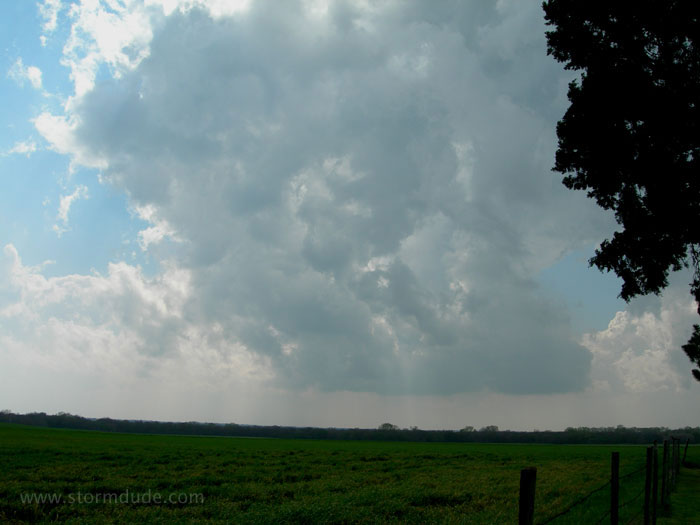
Convection west of Lyons is weak, making me wonder if this is another marginal day.
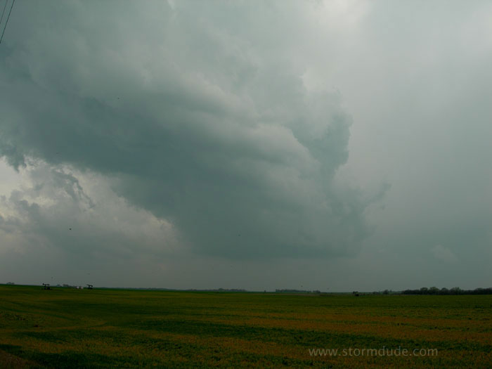
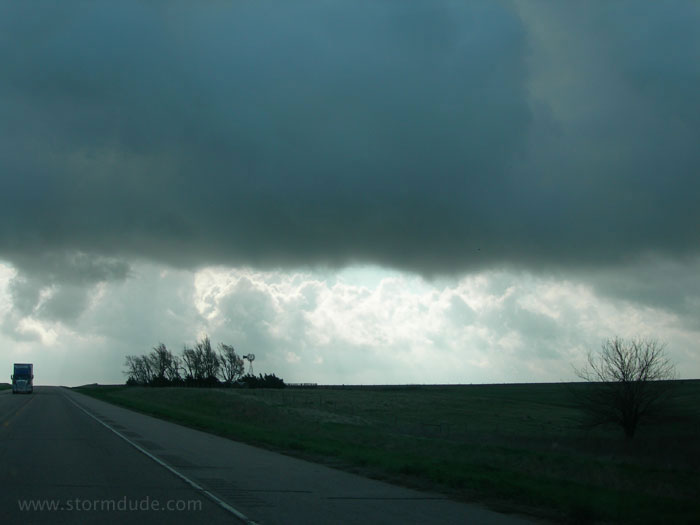
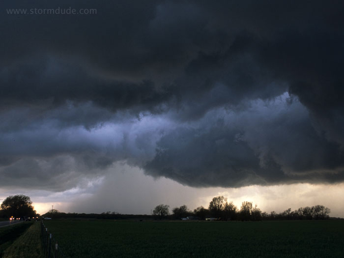
Small updraft in front of outflow-dominant storms.
Cells are merging so I head south to the southernmost convection.
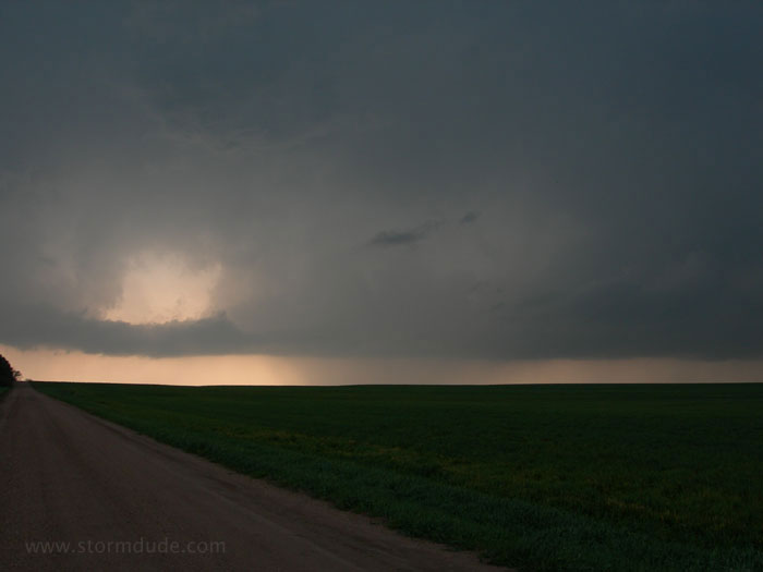
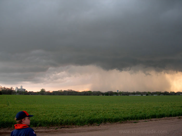
Small rotating storm just west of the town of Nickerson.
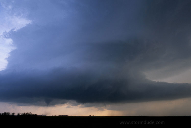
A tornado forms to my southwest.
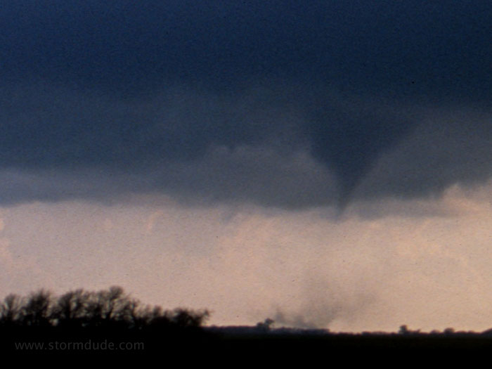
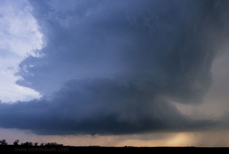
Close-up view.
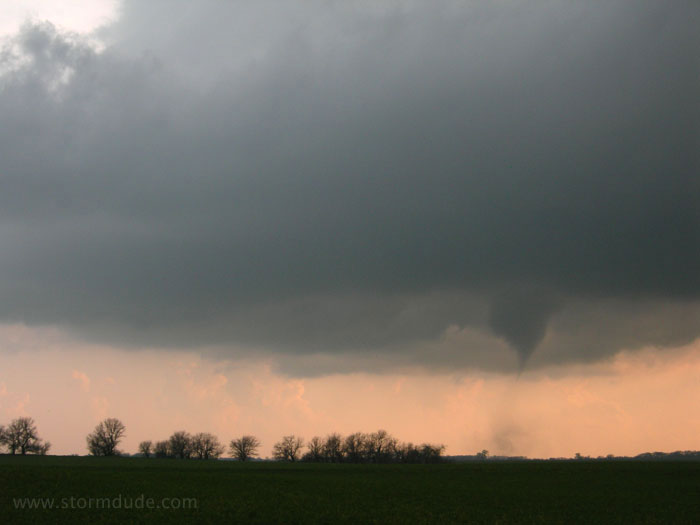
A couple of minutes later not far from my position on a quiet dirt road.
I see only two cars of stormchasers nearby so I assume everyone else targeted the more active areas of severe weather in Oklahoma and Texas today.
When cool downdrafts take over, I get back on the highway and head towards Nickerson. I soon discover that hundreds of storm chasers and locals have been watching this storm.
Just east of Nickerson, I chat with some friendly locals taking a break from their kids' cub scout meeting to find out why the tornado sirens are going off. Fortunately, the storm weakened before entering town.
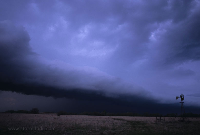
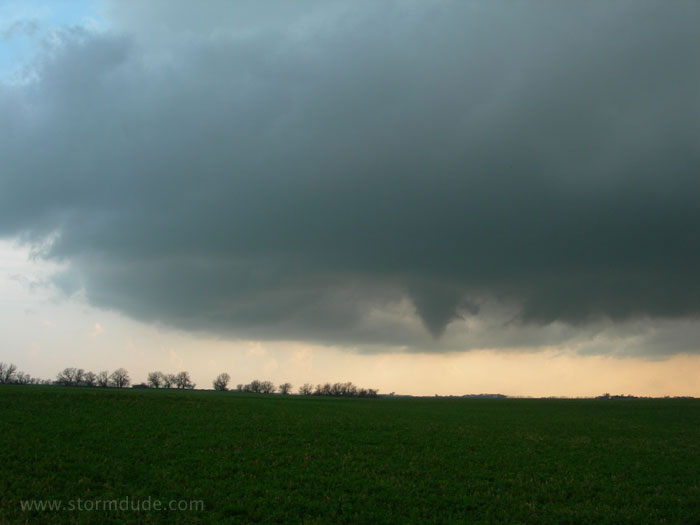
I give up the chase after sunset and turn back south. After passing dozens of storm chasers who were still following the storm, I find a quiet road to take a final photo before dark. A perfect chase day.