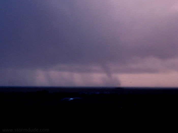
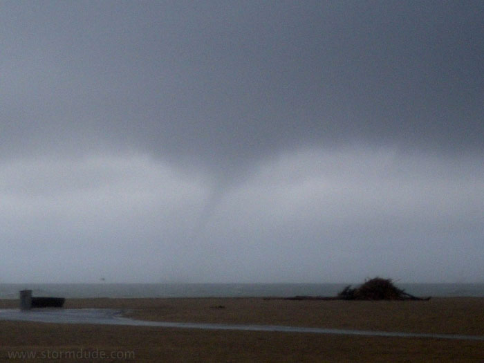
First waterspout occurs at 6:45 am about a half-mile off Newport Beach. A small cone is partly concealed by spray lifted from the ocean. (Photo is blurred due to low light conditions of early morning and a cheap point-and-shoot camera. Should have had my good camera but who expects a tornado off the OC coast?)
Unlike typical "fair weather" waterspouts associated with weak convection, this vortex arises from forces more typical of tornadic storms, including deep moist convection with deep-layer shear. In the low-CAPE conditions of Southern California, buoyancy is concentrated in lower levels of the atmosphere and enhanced by strong shear.
It soon weakens. View is looking south from Huntington Beach State Park.
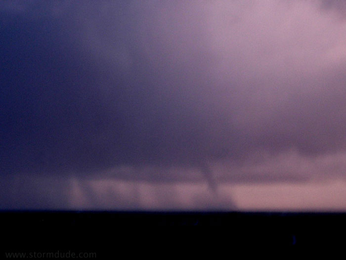
Just before it dies.
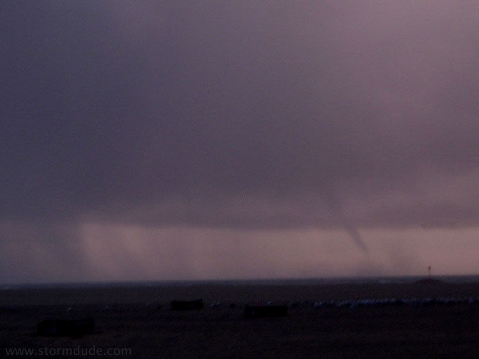
Another vortex forms at 7:35 am south of Huntington Beach Pier. This view is looking west.
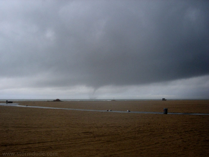
Wide-angle view as the waterspout strengthens. This formed under a rain-free base at the southern edge of a thunderstorm.
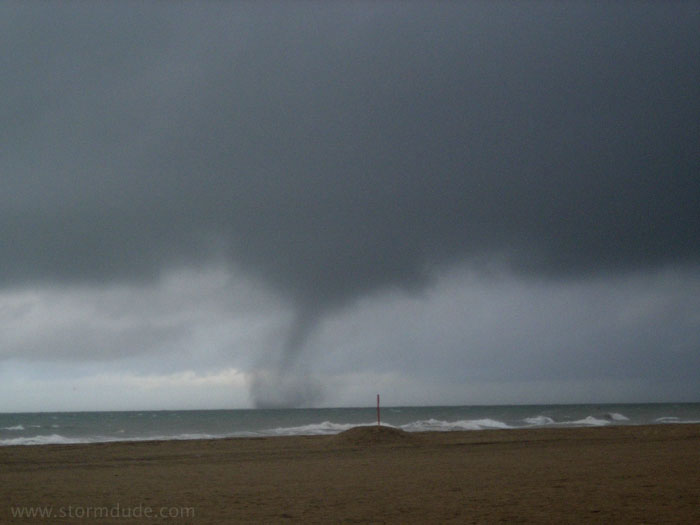
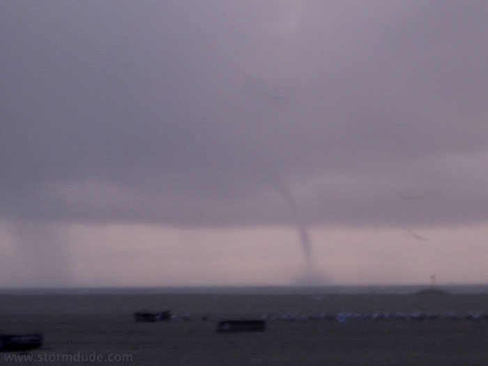
At its strongest, a few hundred yards off the pier. This vortex is also more accurately described as a "tornado over water" (there is clearly a lack of well-established terminology for this type of storm).
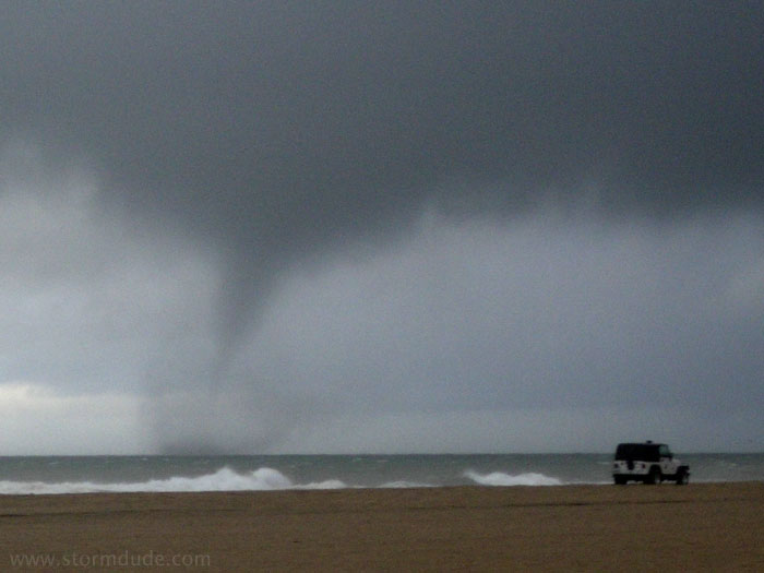
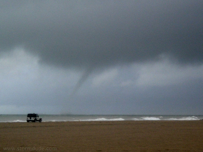
Lifeguard jeep watching the vortex. Compare these "tornadic waterspouts" with the "fair weather waterspout" in my 1-11-01 photos.
It starts to weaken as it moves towards land. When it comes ashore a few minutes later, it becomes the seventh tornado to hit Huntington Beach since 1984 (and 18th to hit the county since '84). Sounds almost on par with tornado alley, except tornadoes here tend to be weak (rated F0 or F1 on the Fujita scale). The only strong tornadoes in Orange County since 1960 occurred in Irvine on 2-9-78 and Newport Beach on 11-7-66 (both were rated F2).
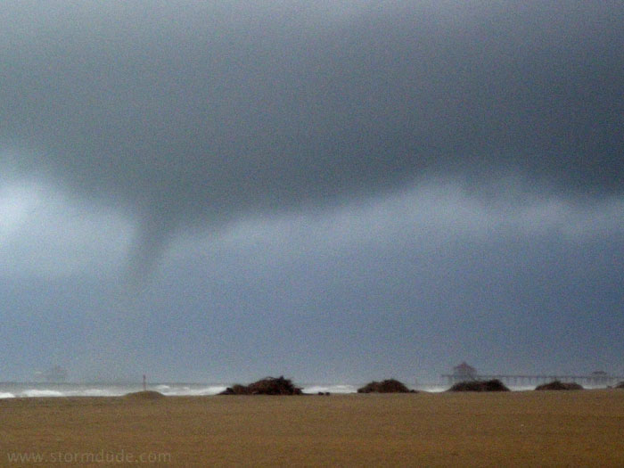
Vortex about one hundred yards off the Huntington Beach Pier. This tornado came ashore about one-half mile up the coast from the pier, much weaker than in earlier stages, but still strong enough to knock down trees and power poles along 14th Street (rated F0).