May 4th: Southeast Kansas Supercell
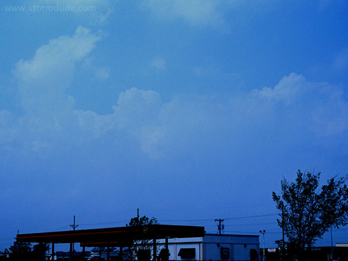
Mid-afternoon convection southwest of Kansas City. Very humid with southerly winds of 30-40 mph. The nearest storm is headed into Kansas City, so I relocate south towards powerful supercells in southeast Kansas.
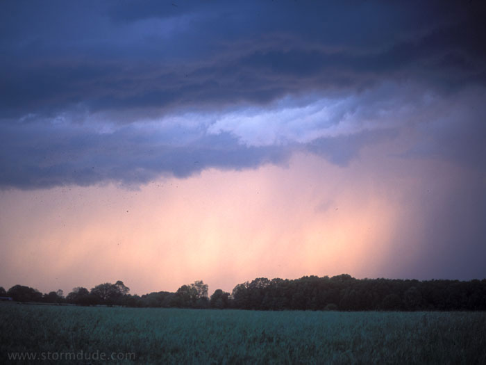
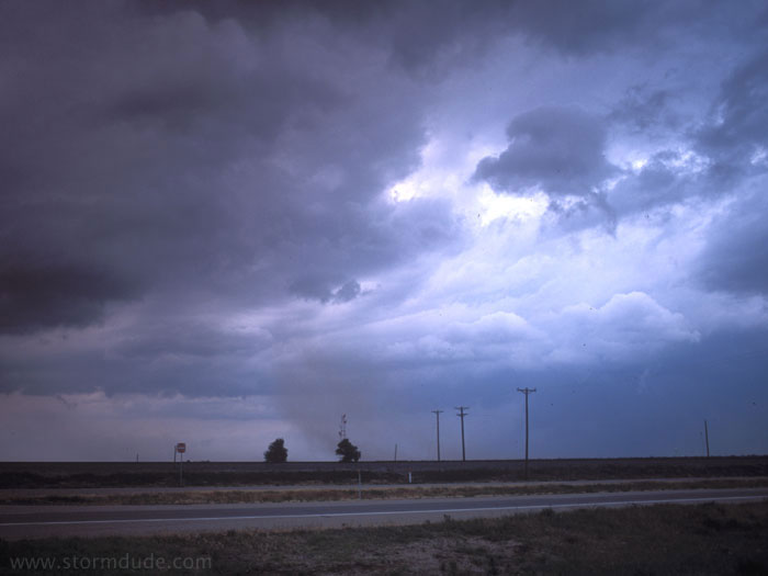
This is the view at sunset, after I had been stuck on the northern side of a fast-moving storm that unfortunately produces a very damaging long-track tornado through central Missouri.
May 9th: Southwest Oklahoma Storm
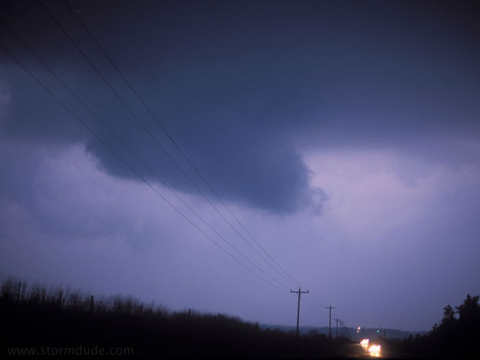
I was home on May 8th, when a tornado hit Moore, Oklahoma. The set-up on May 9th was so similar that I figure I better fly back to the Plains and rescue my car, which is at Will Rogers Airport, before it gets pounded by large hail. I intercept this storm at dusk on May 9th, a little southwest of Oklahoma City. It goes on to produce an after-dark tornado that damages the northwest part of the city.
May 10th: Missouri Storm
New storm developing in eastern Missouri. It races off to the northeast, making it impossible to follow along the winding roads of central Missouri. An outbreak of tornadoes occurs in northeast Missouri that day, part of the record week of tornadoes.
May 24th: Texas Panhandle Supercell
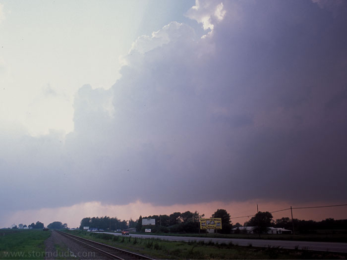
Gust front from mature supercell just south of Pampa. This is the fourth time during the 2003 season that I am in a town with tornado sirens wailing (but in this case no serious tornado threat).
June 13th: West Texas Thunderstorm

Marginally severe storm west of Lubbock on my last day of storm chasing for 2003. This is a good reminder that even a weak thunderstorm in the Plains is more awe-inspiring than nearly all Southern California weather.